Start from Saint-Jean-de-Maurienne (1st day)
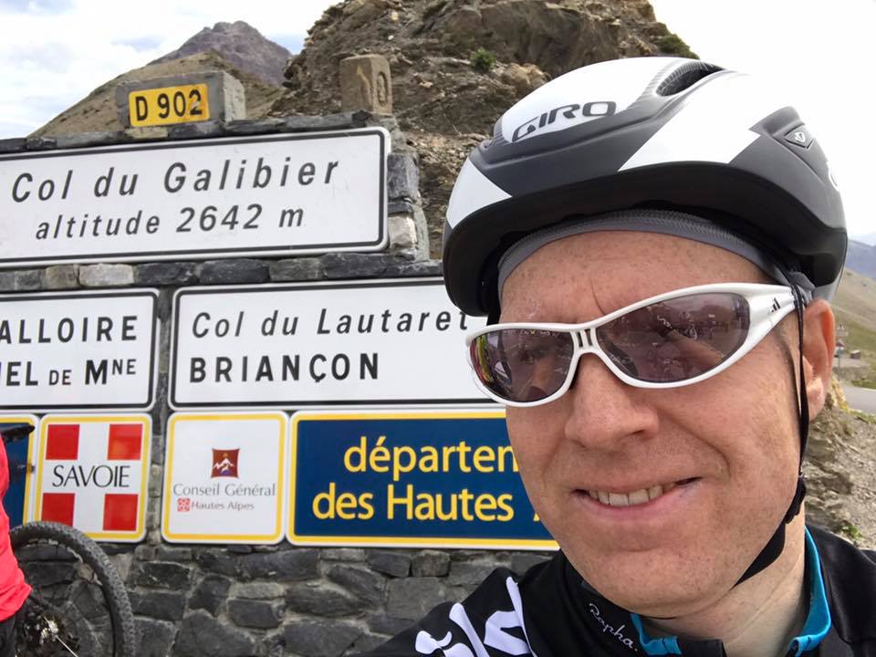
The Maurienne valley, land of mountains and cycling. It is a traditional passage of the Tour de France, as the passes are numerous and difficult. It is a land of challenges that every amateur cyclist must visit one day in his life. At the top of this hierarchy is the Galibier, culminating at 2642m of altitude.
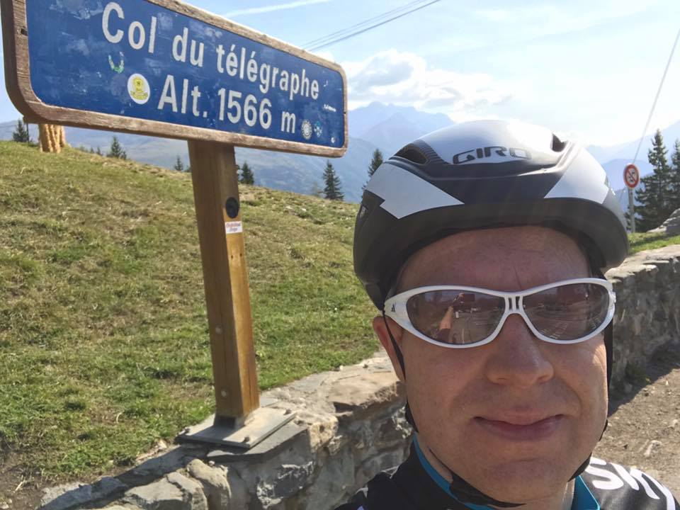
The Galibier pass is climbed in two stages. Indeed, it is made of two passes. The first one, the no less famous Télégraphe, is just the first step. The serious stuff starts around the 15th kilometer. The Télégraphe takes us on a gradient that rarely goes below 10%, for more than 10km, to reach a plateau descending towards the village of Valloire.
In the first laces of the Galibier, the slope seems less steep. But it is only for a short time. The Galibier is a road of more than 18km starting from Valloire, all in curves, with slopes varying between 8% and 12%. It’s a tough ride. At the summit, at more than 2600m, the wind gets in the way. The altitude and the effort provided make you dizzy.
Once the emotions are over, we take the road again to go down the Lautaret pass, another mythical name of the region, to join the valley, before turning right towards Villar-d’Arêne and even further, La Grave. The road then follows “La Romanche”, a river whose name lends itself to a smile for a Swiss, which flows into the artificial lake of Chambon.
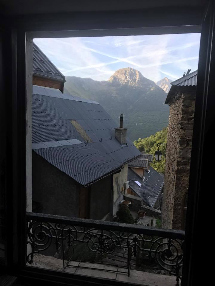
At the exit of Freney d’Oisans, it is possible to take the road towards the winter sports resort of Auris, village stop for this first day.
Start from Auris en Oisans (2nd day)
The starting point is located outside the route, in the ski resort of Auris en Oisans. We go down the departmental road D 211, to reach La Garde, situated at the foot of another monument of the region, the Alpe d’Huez.
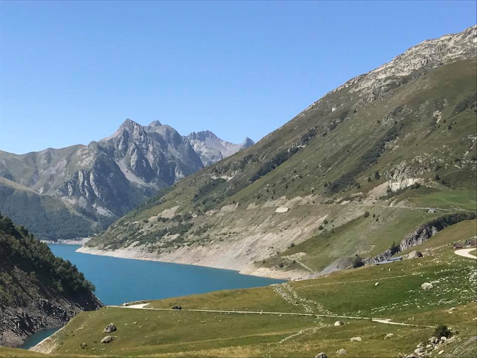
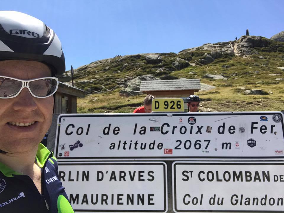
Once past La Garde, the route continues northward, alongside the lake of Allemont, and then attacks the last difficulty of this tour, the Croix-de-Fer pass, rather abruptly. And here we go for 25km of climbing at 8% average. The landscape is breathtaking. Taking the time to stop and take pictures is a useless advice, so much it is impossible to pass by without photographing these high altitude lakes with their azure blue color.
Back to Saint-Jean-de-Maurienne
The road goes down to Saint-Sorlin d’Arves, then Saint-Jean d’Arves, before reaching the starting point of this magnificent but physically demanding loop.

