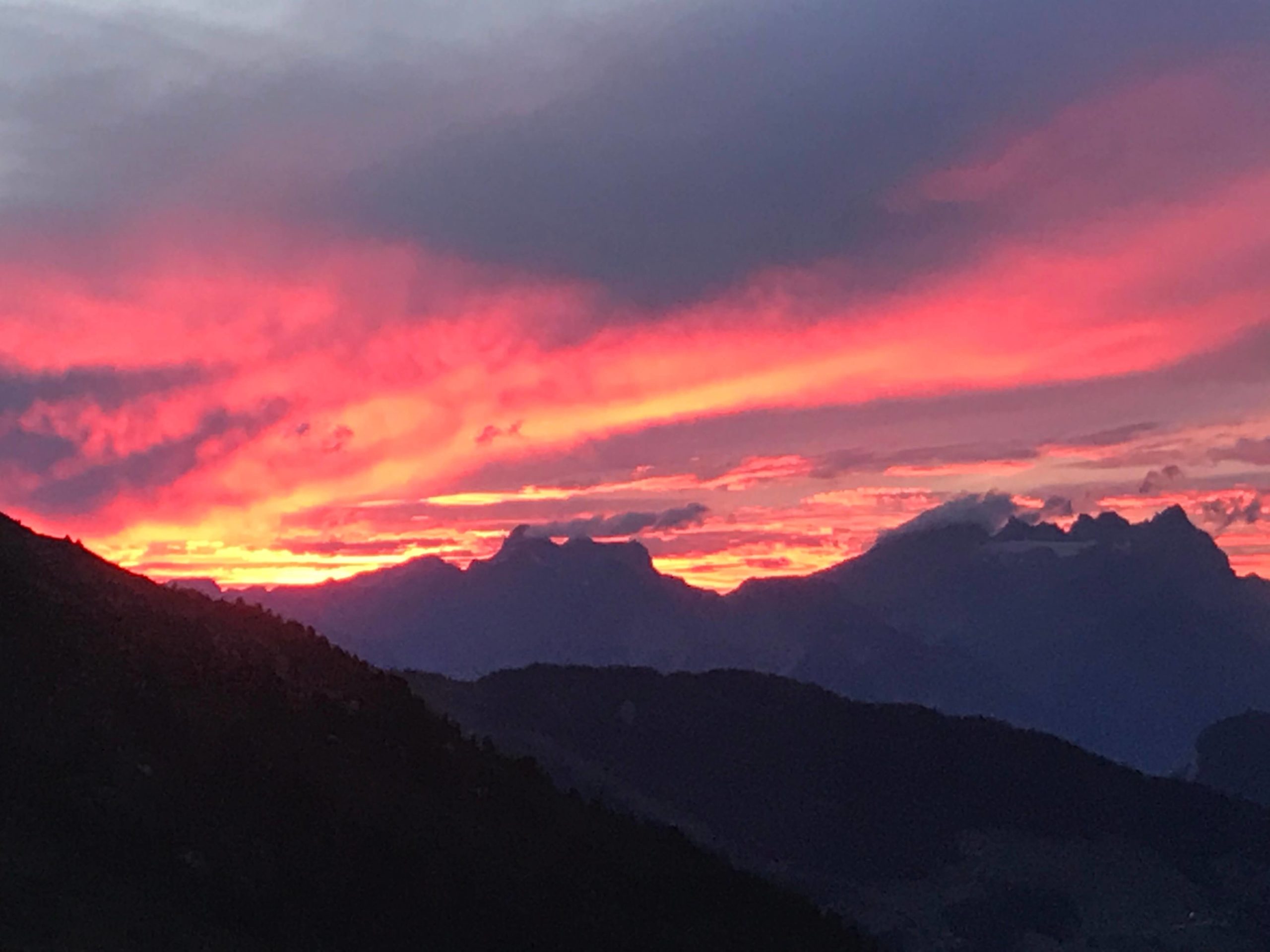
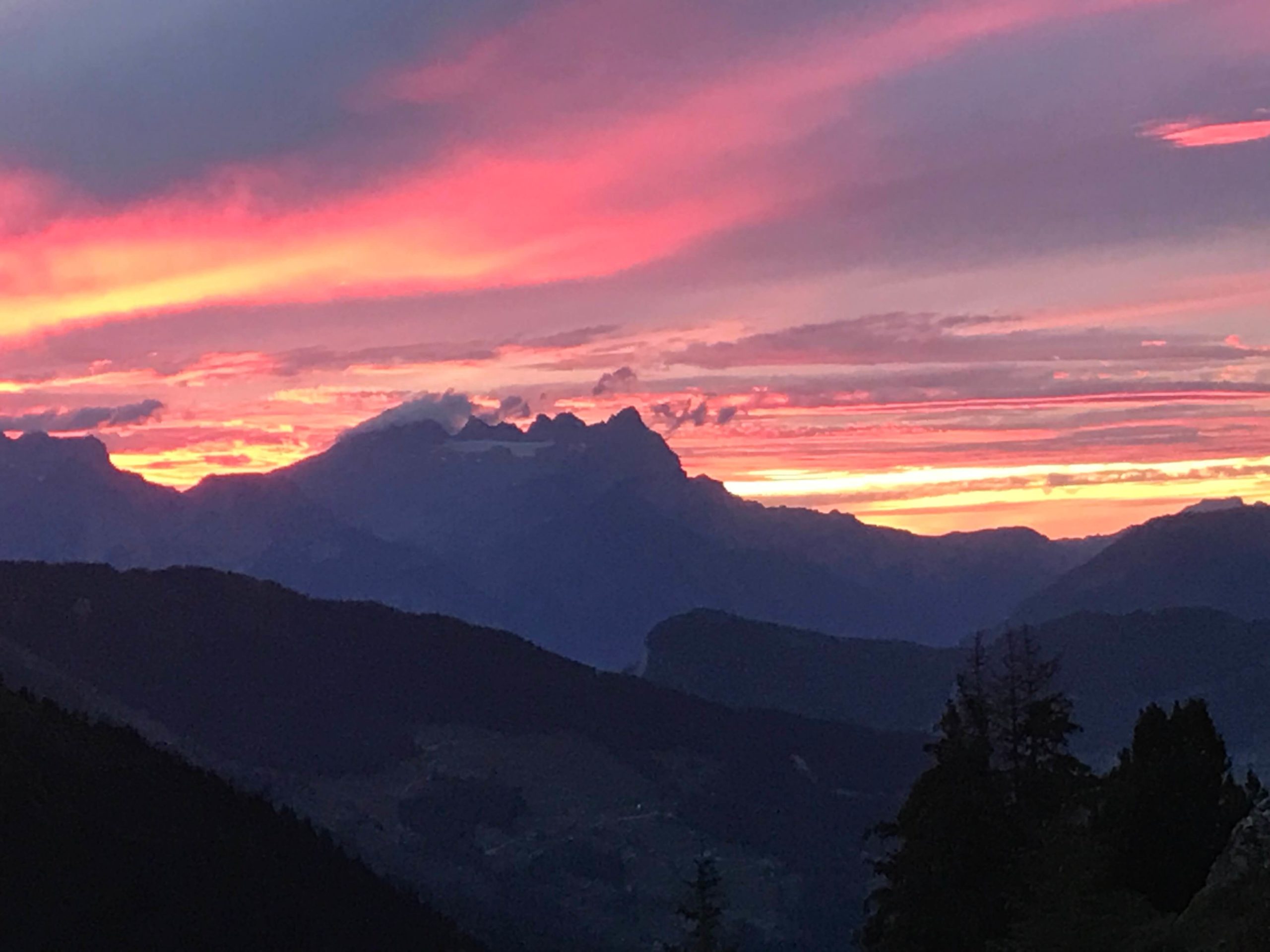
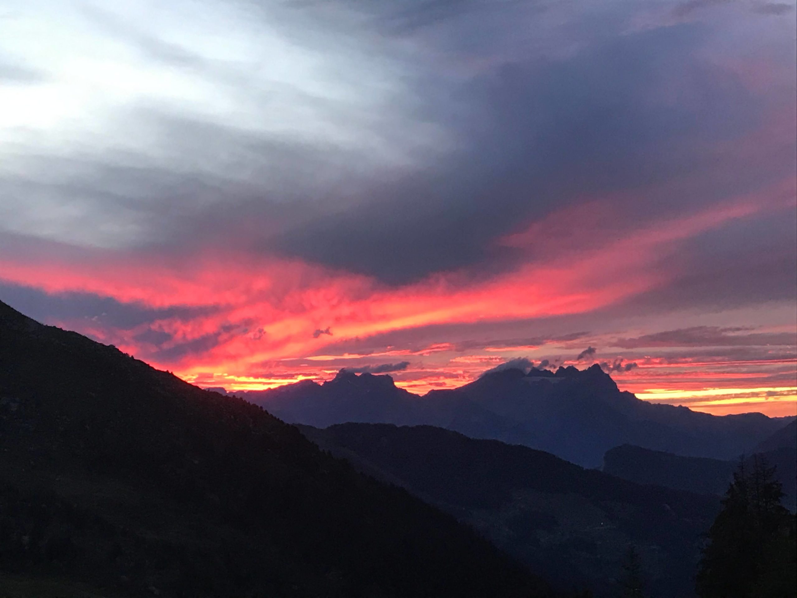
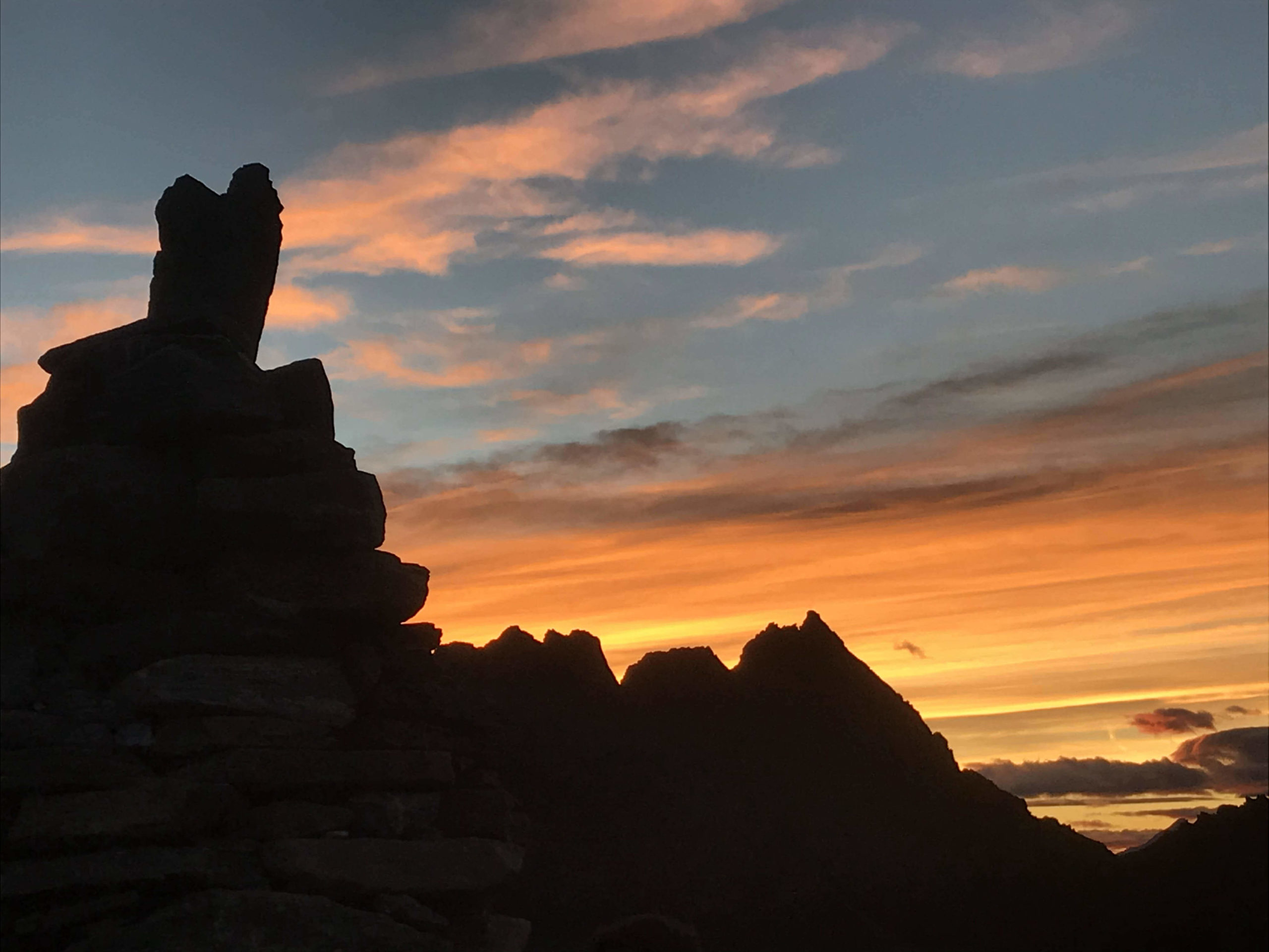
The Marcel Brunet’s Hut
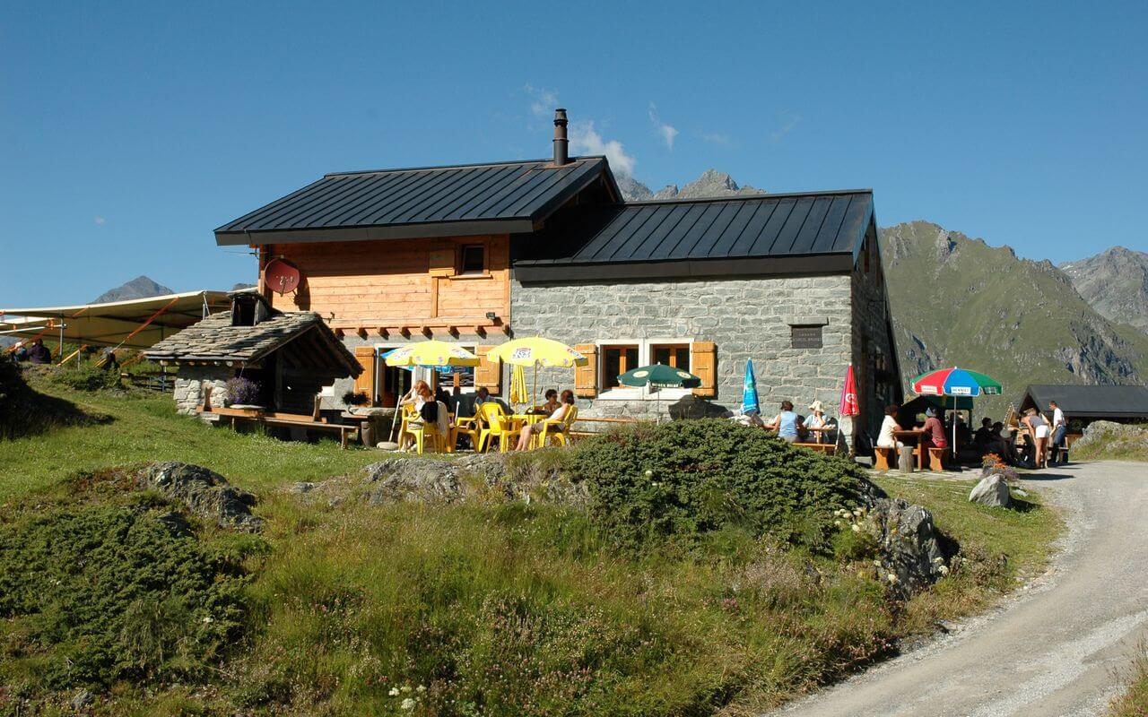
To access the glacier, I left from Marcel Brunet’s hut or more commonly known as “Cabane Brunet”. It is located in the Val de Bagnes, perched at 2100m of altitude. You can easily reach it by car, the parking lot being just next to it. There is even a second parking lot, a little below, 5 min walk away, if the first one should be full. When I arrived at the end of August 2020, the hut was under renovation and was due to close one or two weeks later. At the last news, it was supposed to reopen its doors for the winter season, but with the Covid, we are not sure of anything anymore. More info on https://www.cabanebrunet.ch/.
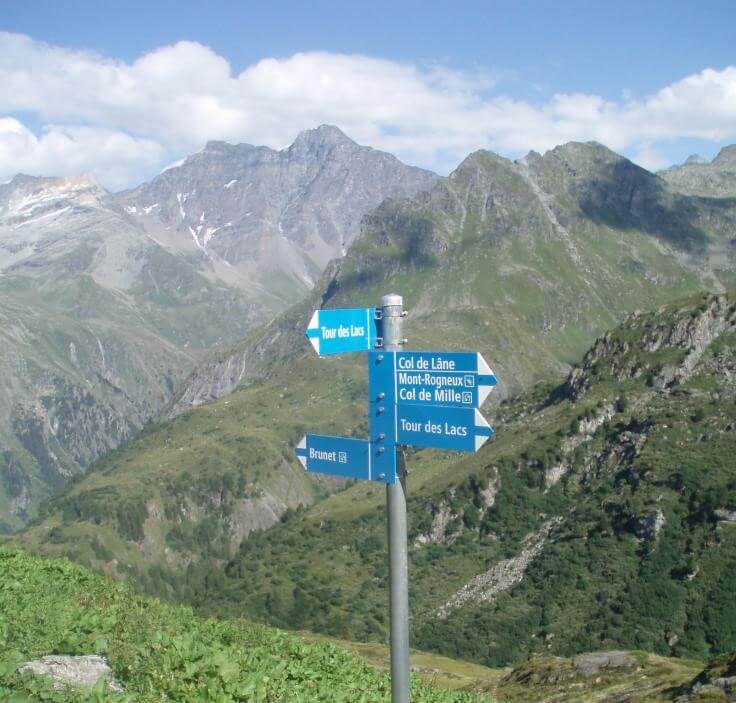
Departure at the beginning of the afternoon for the hut which I had of course reserved beforehand. Exit the highway at Martigny, then follow the Bagnes valley to the village of Lourtier. The road is bad for the last kilometers, but no worries. Arriving at the Chalet, the point of view is already very pleasant. The reception is also nice. A pretty terrace awaits the hikers. I was not going to walk for this first day, because the afternoon was already coming to an end. After getting some informations, I planned to go to the Lâne pass. They say the path is quite difficult, but the discovery on the mountain lakes is really worth the detour.
1st day, Col de Lâne
The summit is located at more than 3000m of altitude. There is about 2:50 of walking. I opted for a round trip of about 5 hours passing by “les écuries de Séry”. The path turns quite quickly into a scree. Bring good shoes and a pair of sticks. The landscape is breathtaking. I met only two hikers on the path, both coming from Bourg-St-Pierre, on the other side of the valley. So it is also possible to reach the top of Lâne from this side.
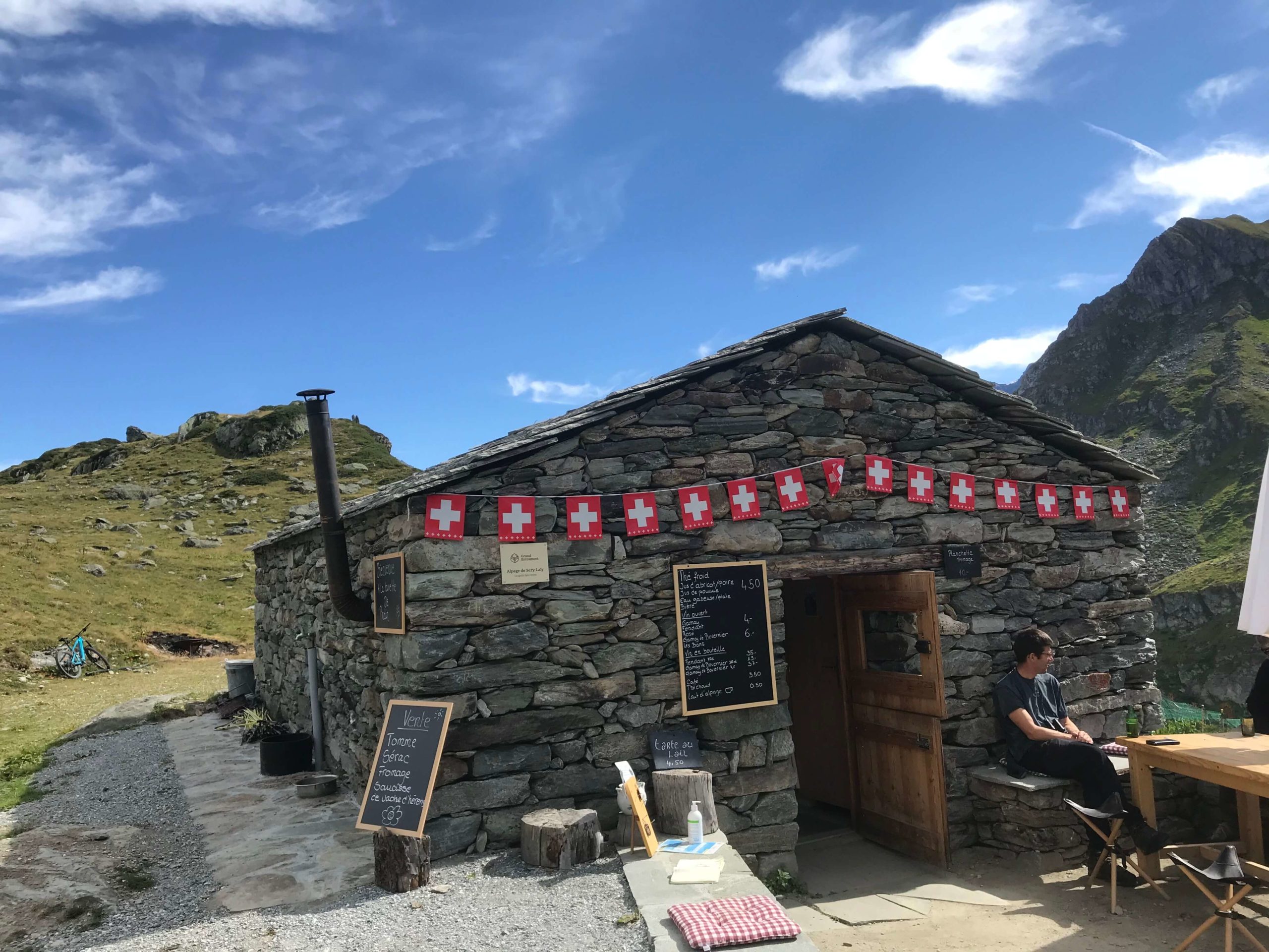
We start the hike on a nice road. After a good hour of walking, we arrive at the first refreshment point, the chalet of Sery-Laly. Once past the alpine pasture chalet, which also offers some welcome drinks to catch your breath, nature becomes really wild and we start the surprising ascent in a slightly arid scree. The sun hits really hard on these rocks. The hat is de rigueur.
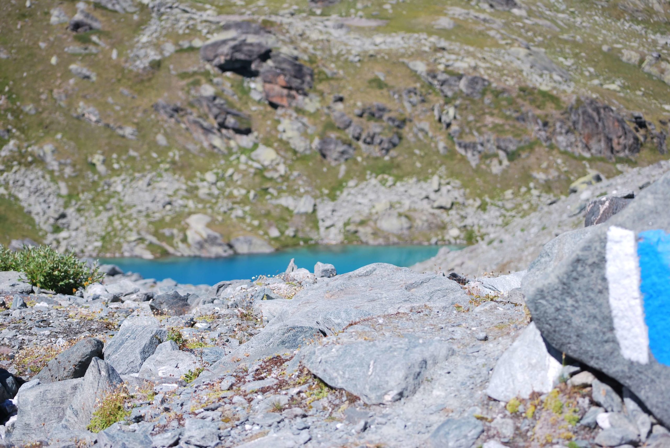
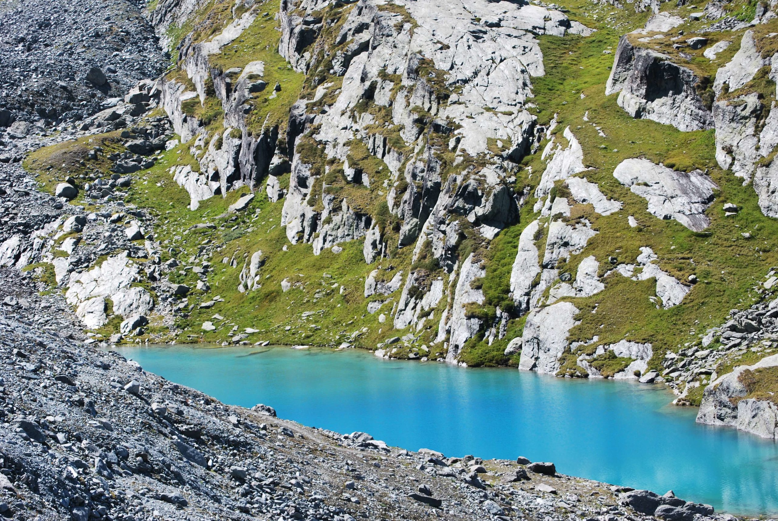
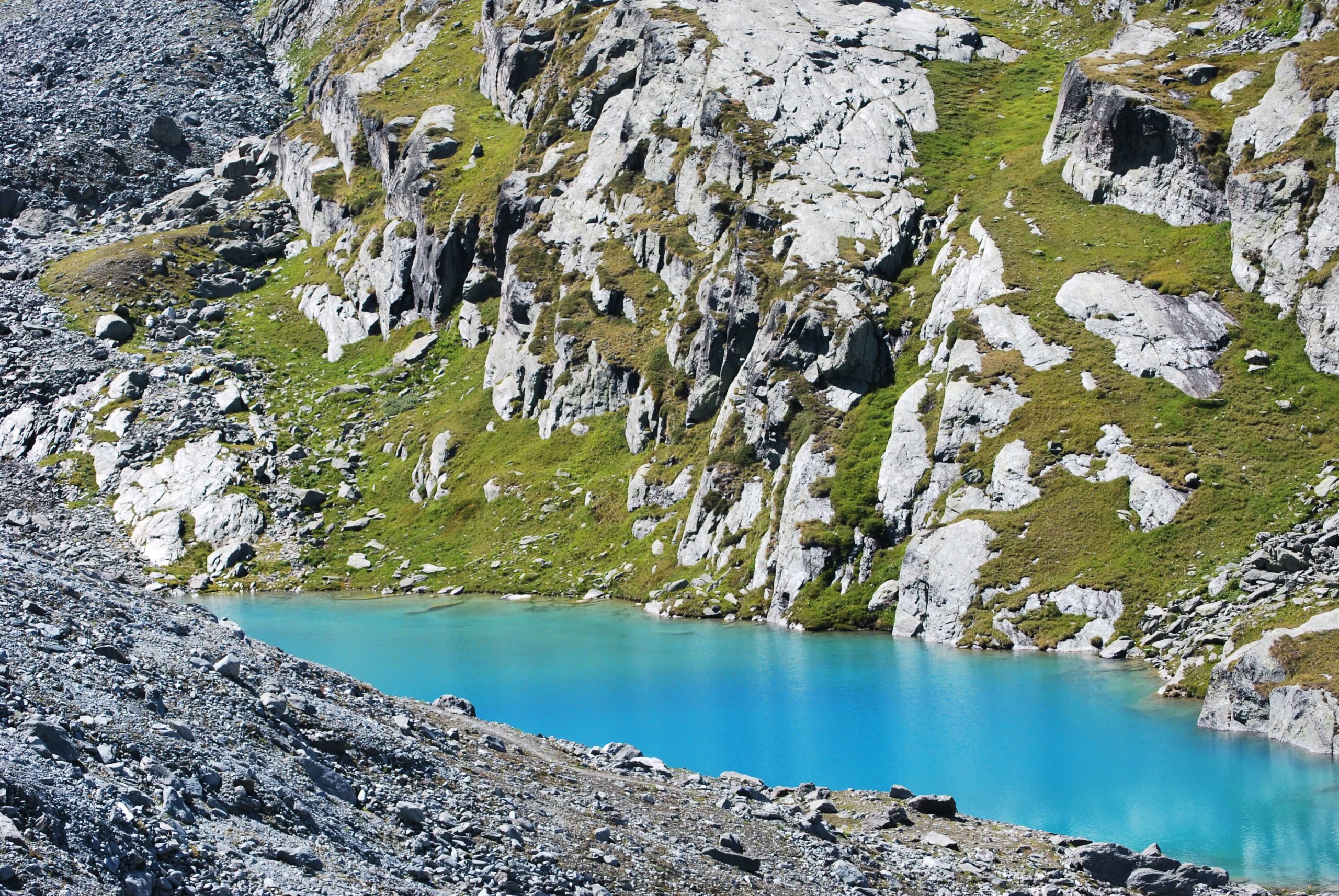
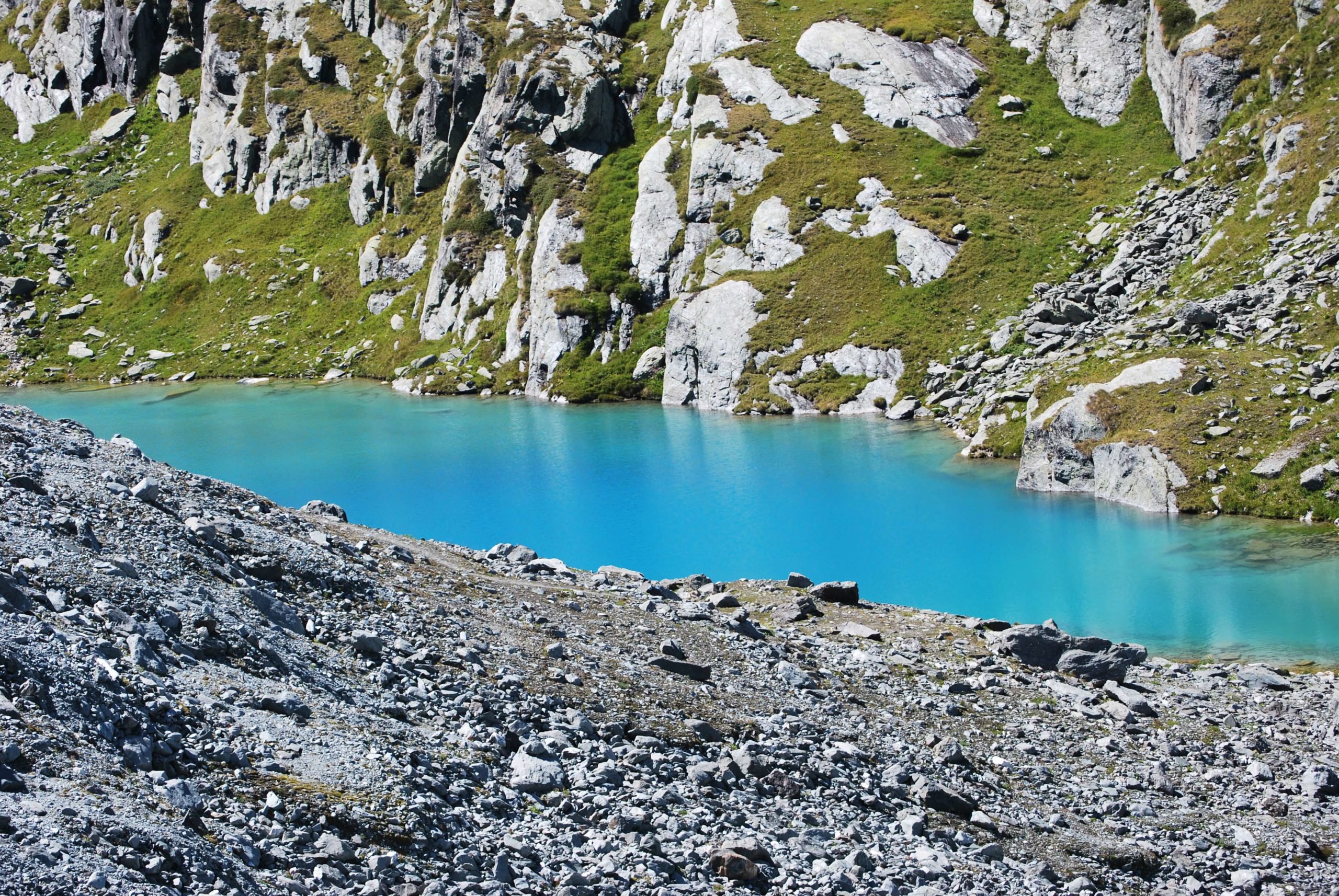
The path is marked with blue and white signs. It is difficult to get lost. You can see below, one of the many azure blue water lakes. Just this view makes you want to go there, doesn’t it? I warmly recommend it to you, it is a real eye-opener.
The mountain lakes
There it was on my first day. All that’s left to do is to return to Chalet Brunet. I wish you a good walk.
2nd day, Panossière’s FXB hut
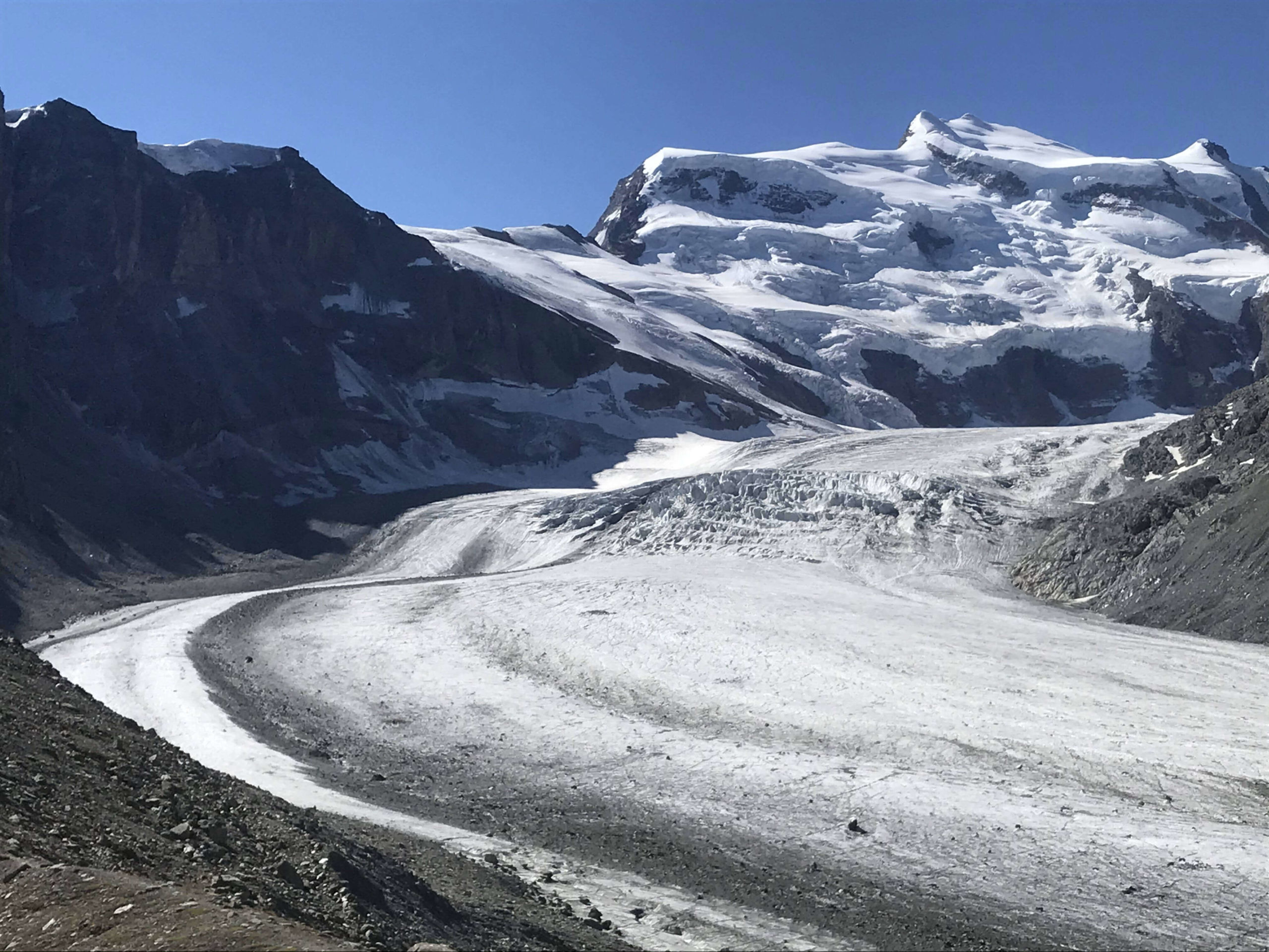
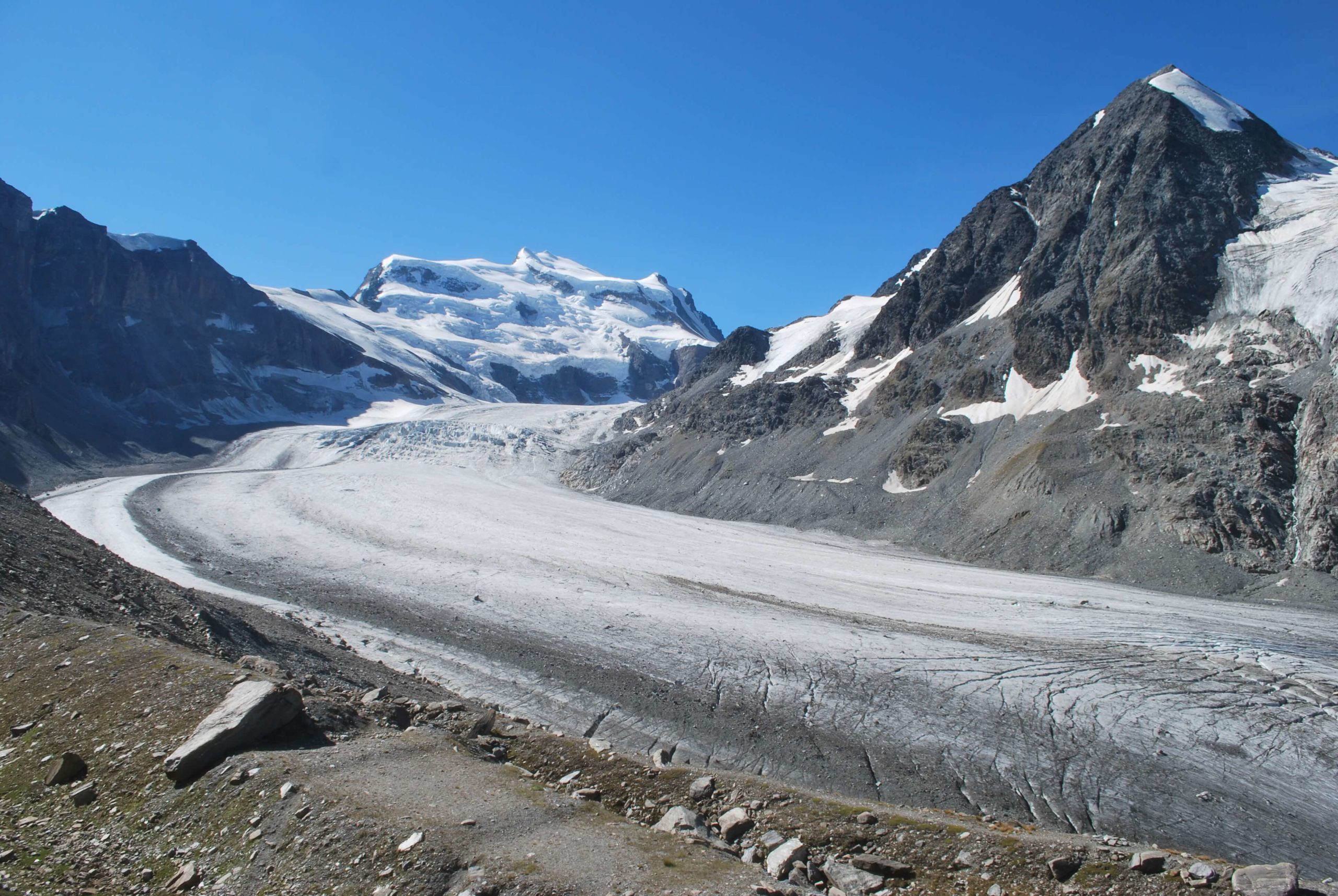
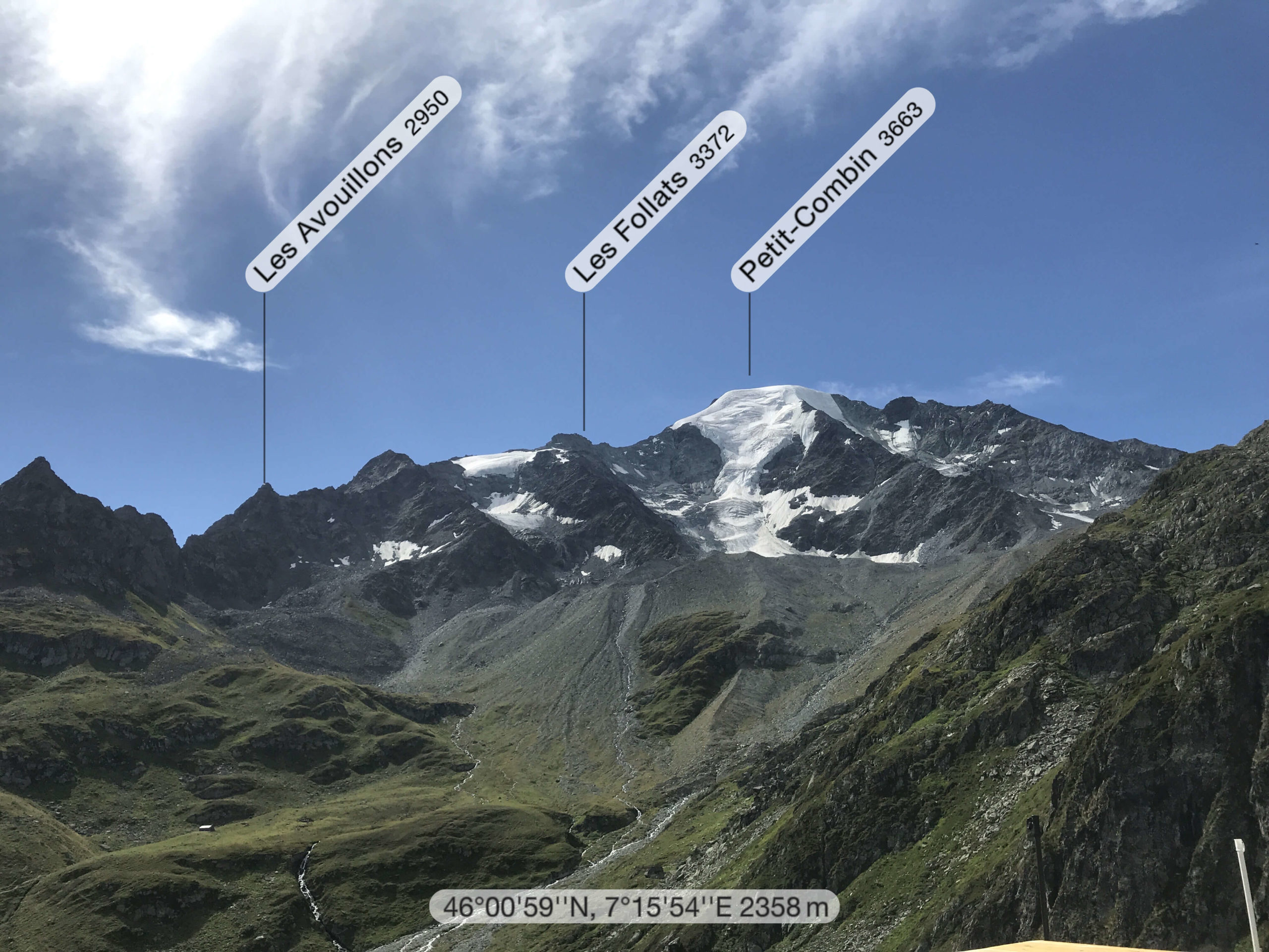
My second day of hike was going to lead me to the Grand Combin glacier and its glacier, commonly called the Corbassière’s glacier. There are two possible routes. One is direct, the other one goes through the Avouillons pass. I started with the most direct path. I will keep the pass for the return the next day.
The FXB hut of Panossière from Marcel Brunet’s hut (via the most direct path) is a 4h walk, about 7km for 765m of ascent and 280m of descent.
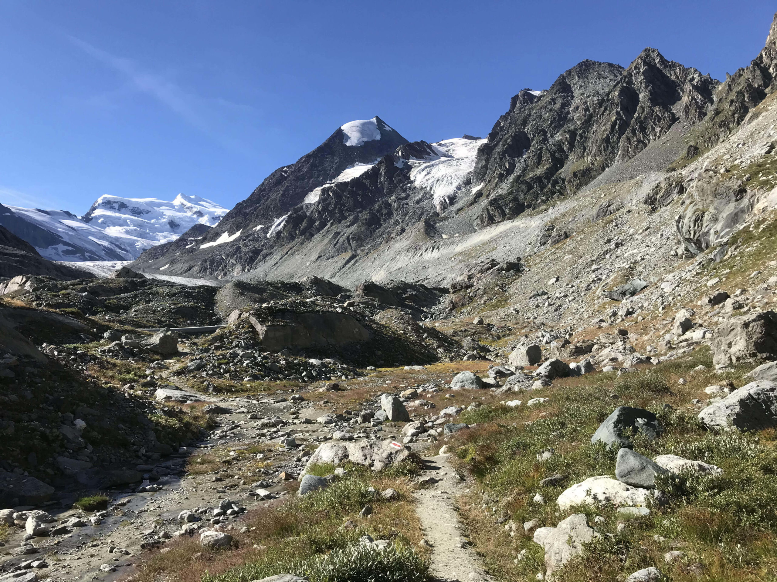
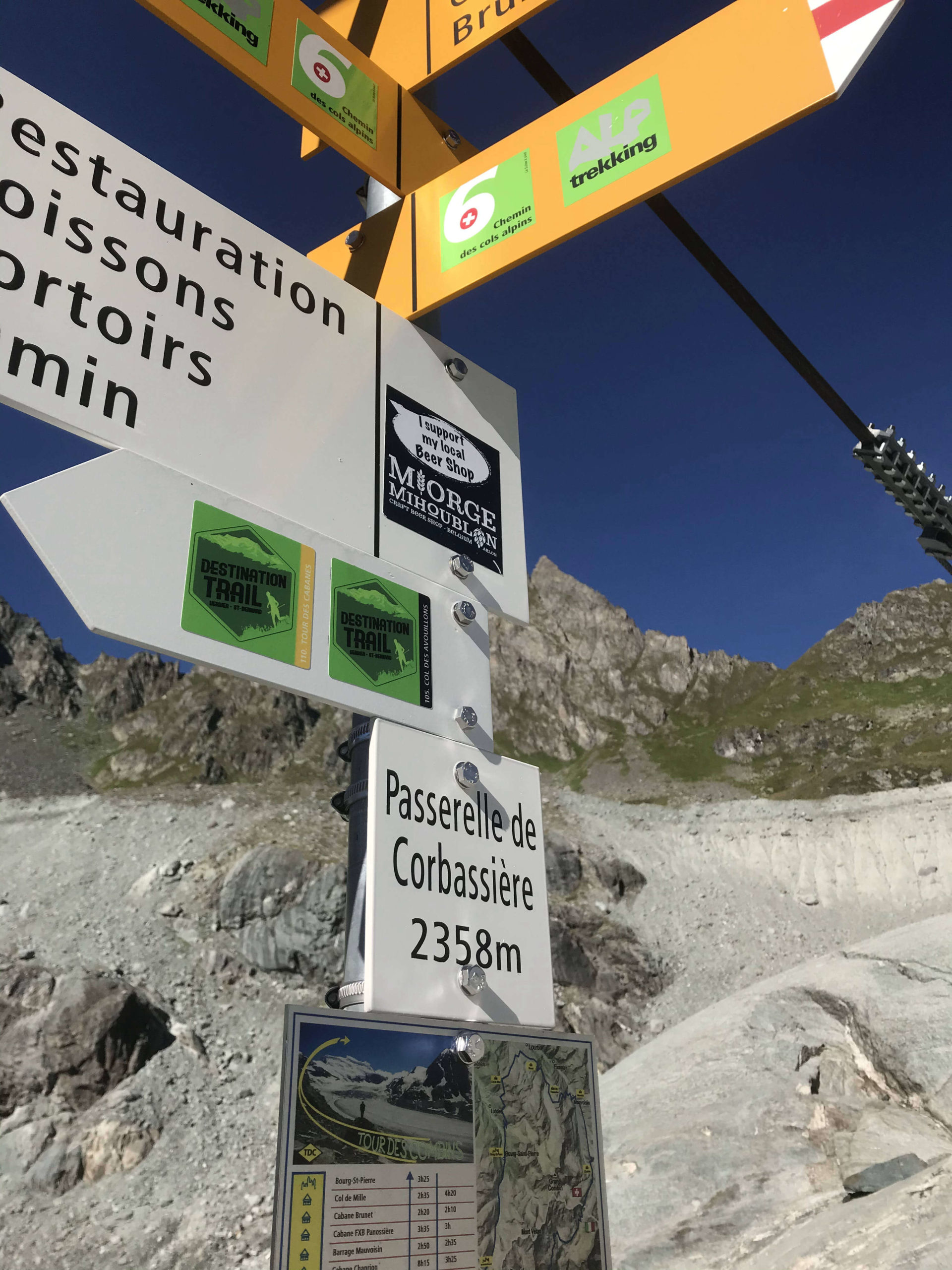
There is nothing technically difficult about the trail. The path is very well marked. After a few bends, we arrive at the point called “2140m”. It is necessary to stay on the widest path, to follow the rocky wall, to pass some bumps to arrive at the first interesting point of the route, the footbridge of the Corbassière glacier.
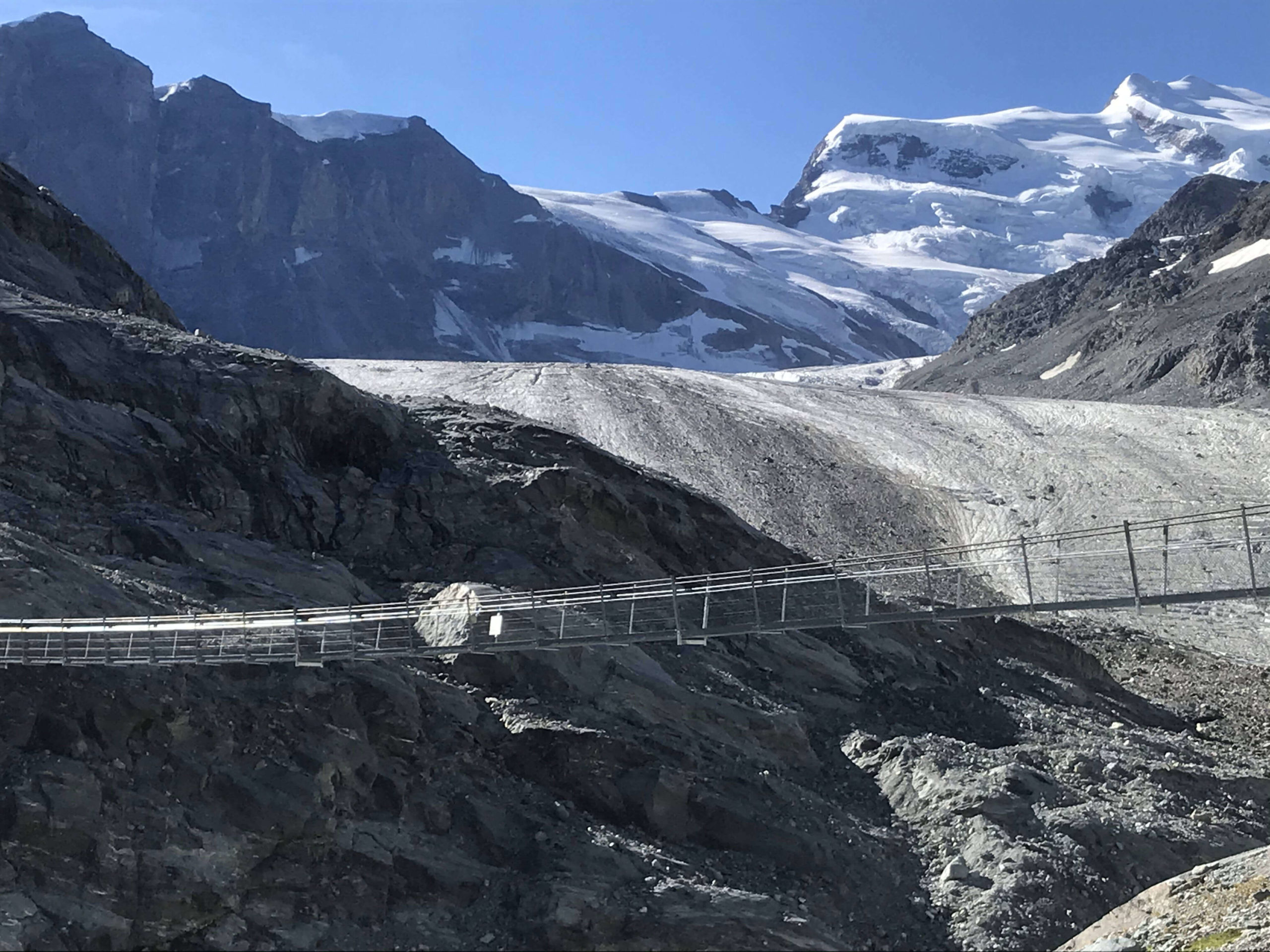
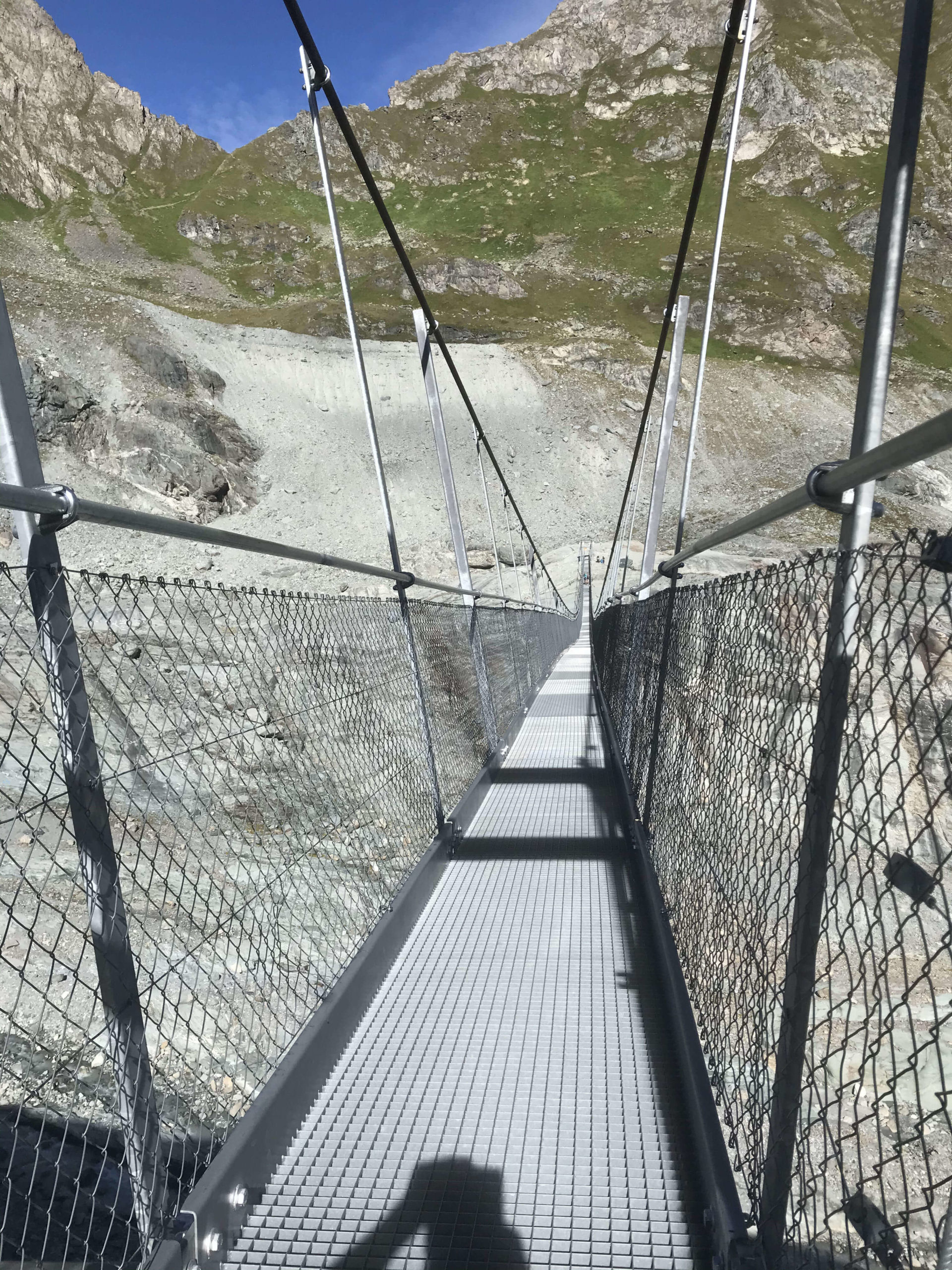
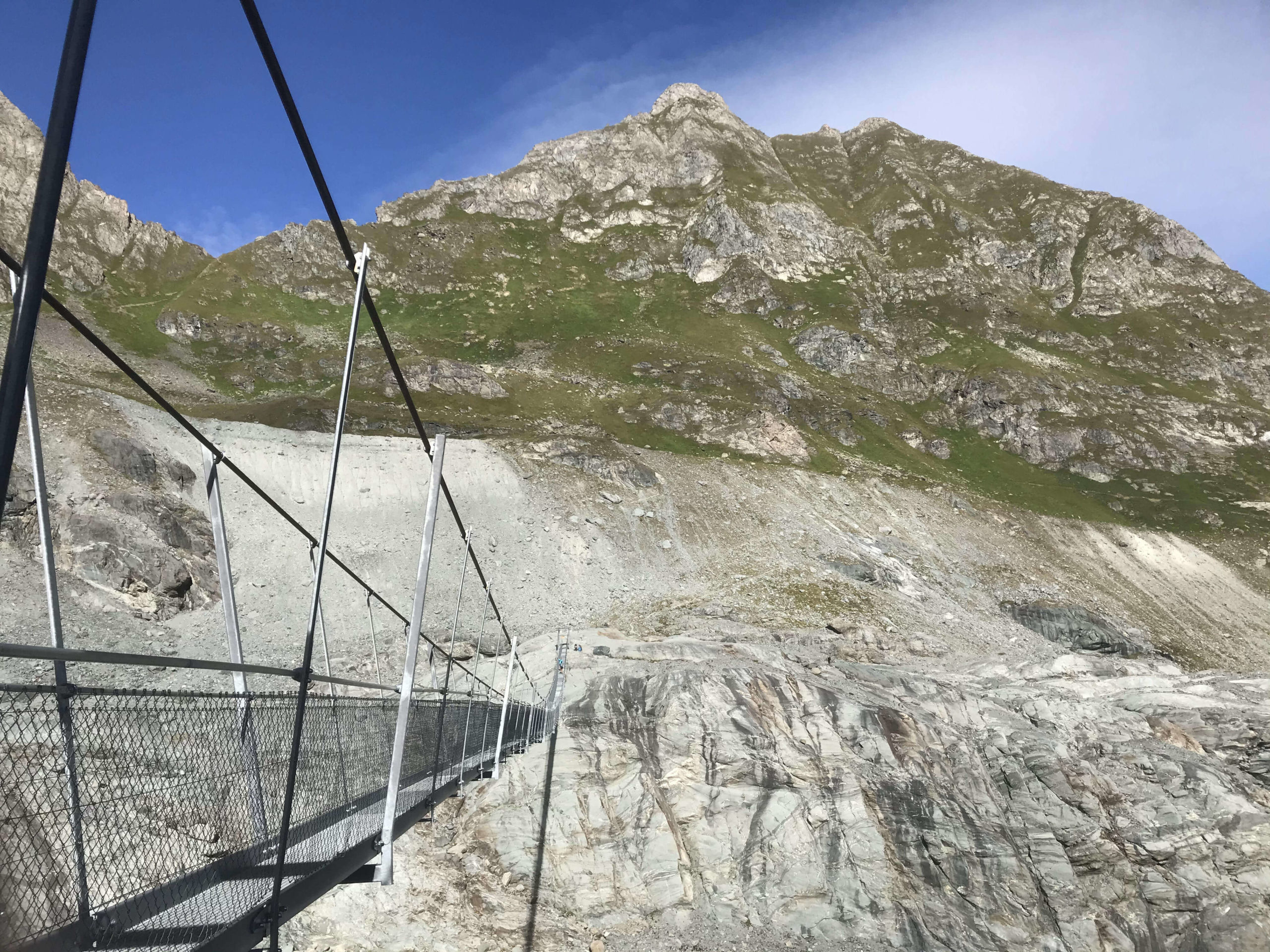
The Corbassière footbridge
The footbridge is 190 meters long. You don’t have to be afraid of heights to cross it. It is without risk.
Finally…the hut
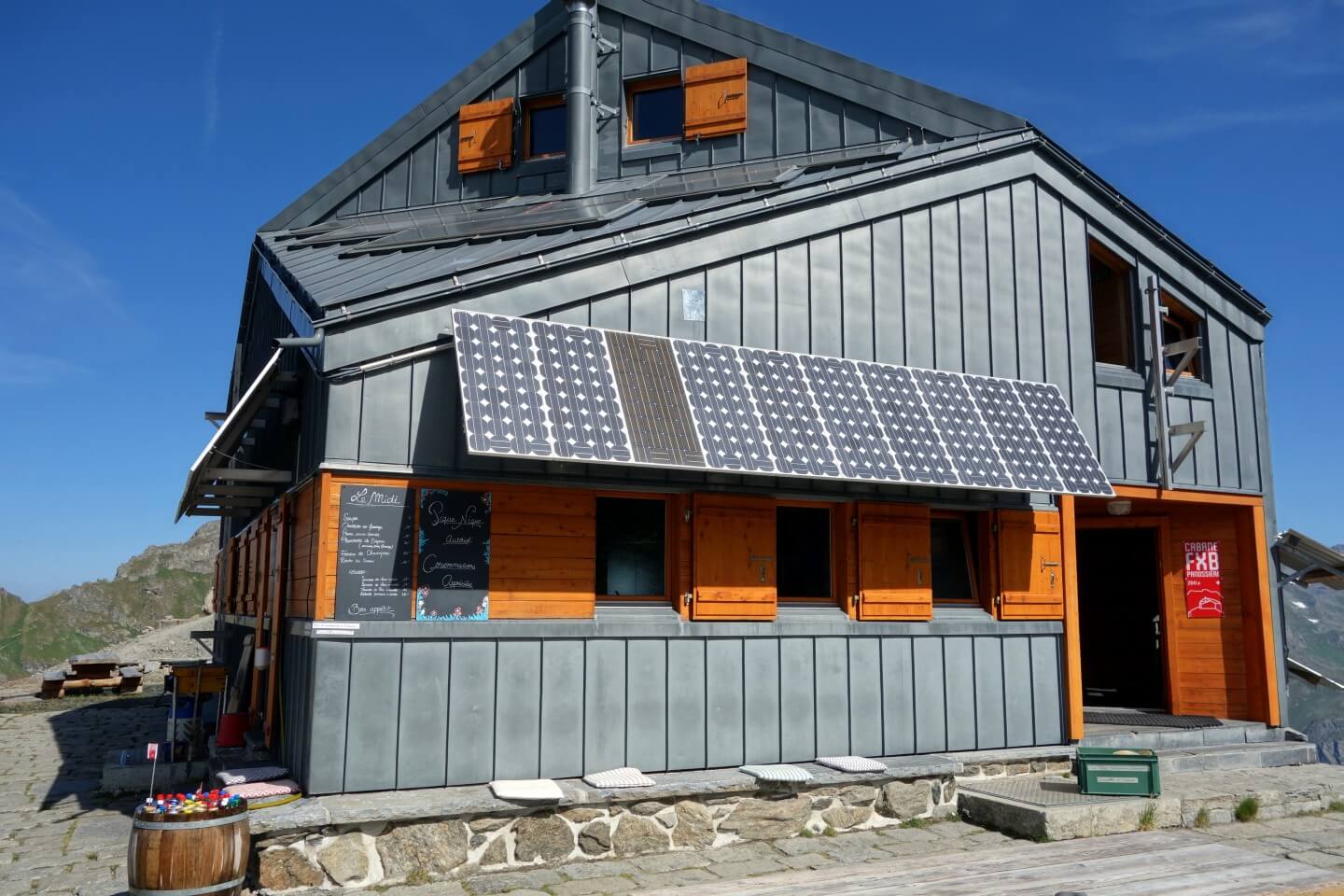
Take the footbridge, then turn left. The path leads to a moraine that you will have to cross to get to Panossière’s hut. The hut is located at 2641m. It offers food and lodging. A beautiful common room serves as a meeting point where you can find food and drink. There is also a reading corner with many books available.
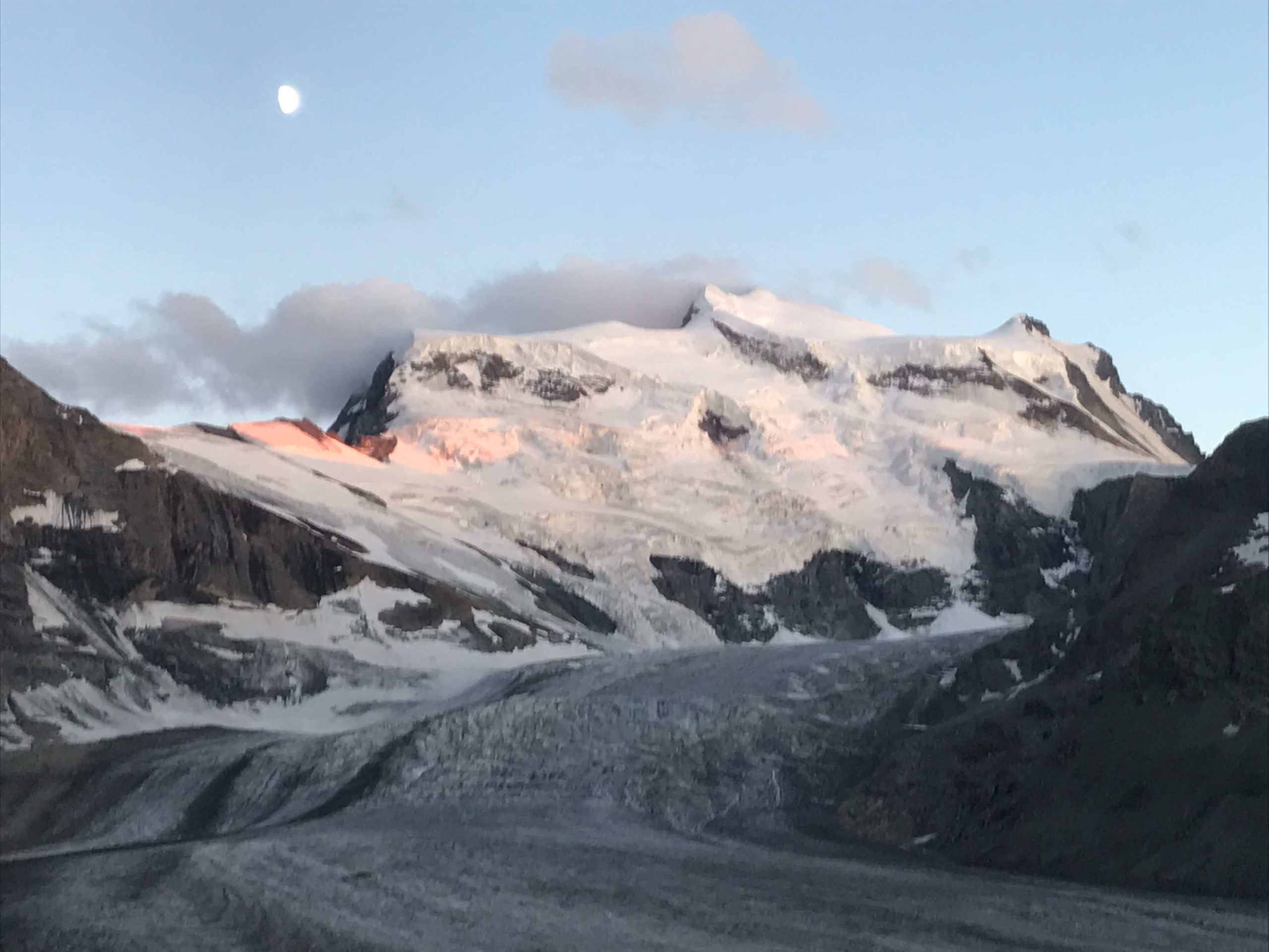
Corbassière glacier, Grand Combin and sunset
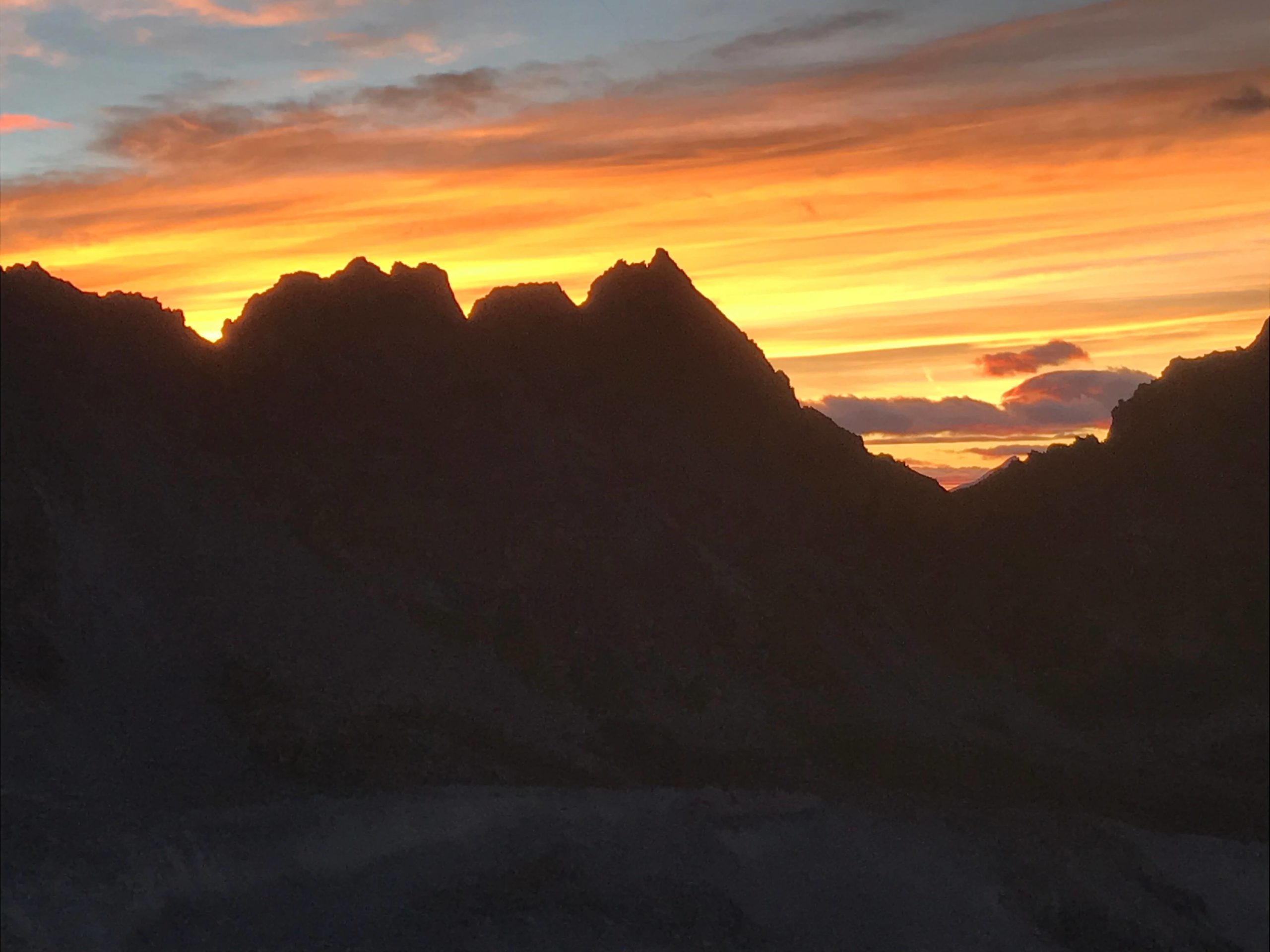
To finish this second day of walking, I had the infinite pleasure of seeing a magnificent sunset. Very nice viewpoint from the terrace.
3rd day, return to the Brunet hut via the Avouillons pass.
As I announced earlier in this story, there are two possible routes. They both meet at the Corbassière footbridge.
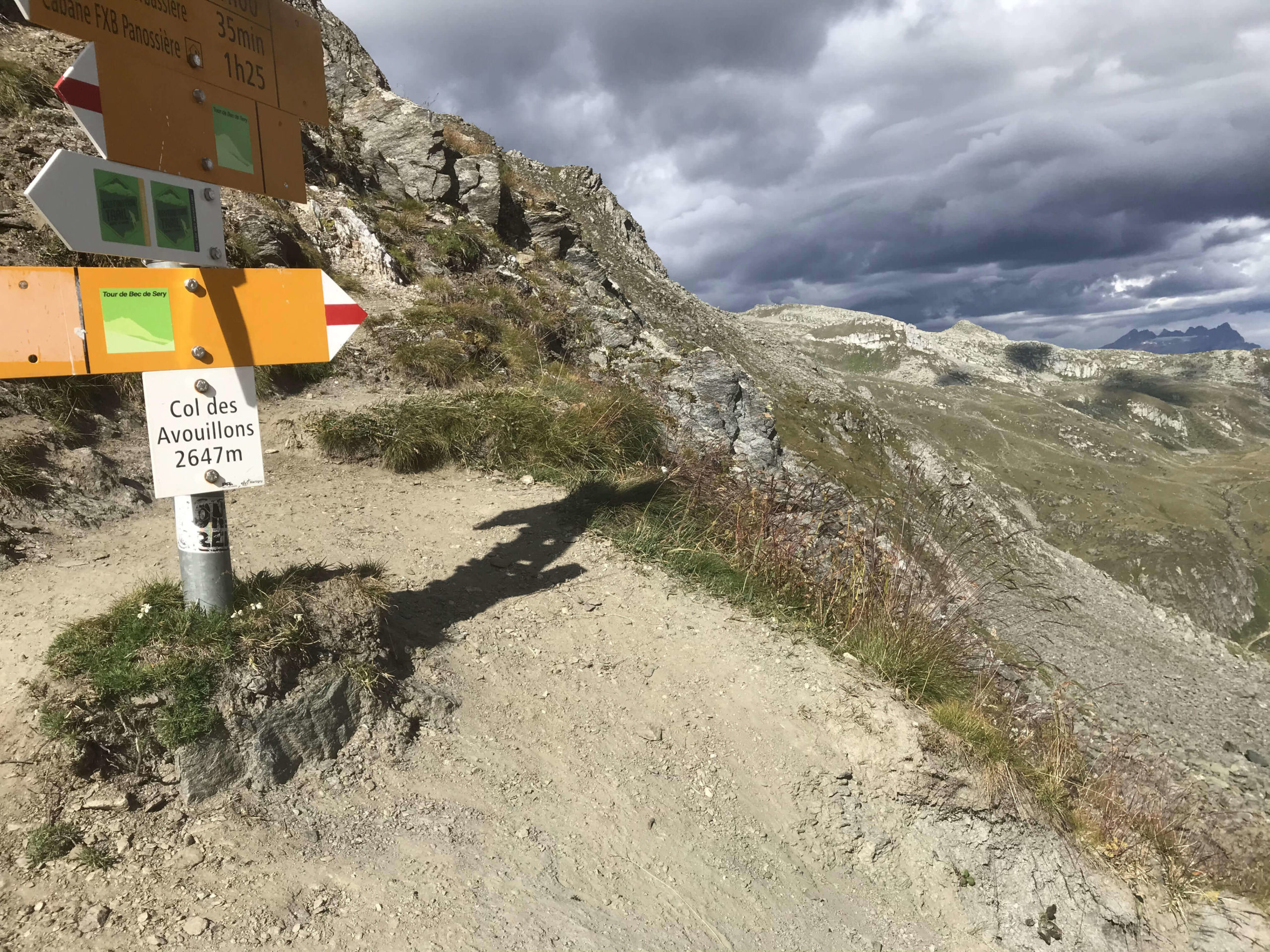
From the footbridge, which you have to cross again, you have to turn left and follow the route of the pass. The view from the summit is simply breathtaking.
Only 1:20 of walking left, time passes very quickly in the mountains. The effort to go up to the pass is sustained, but it is really worth it. The view on the valley is sublime.
This is the end of a nice adventure that I recommend you very warmly. And if you have any questions or simply a hike to share and make me discover, leave me a comment. It’s always nice to read you.

