Introduction
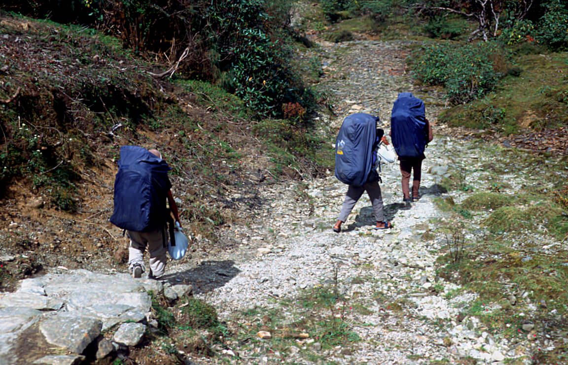
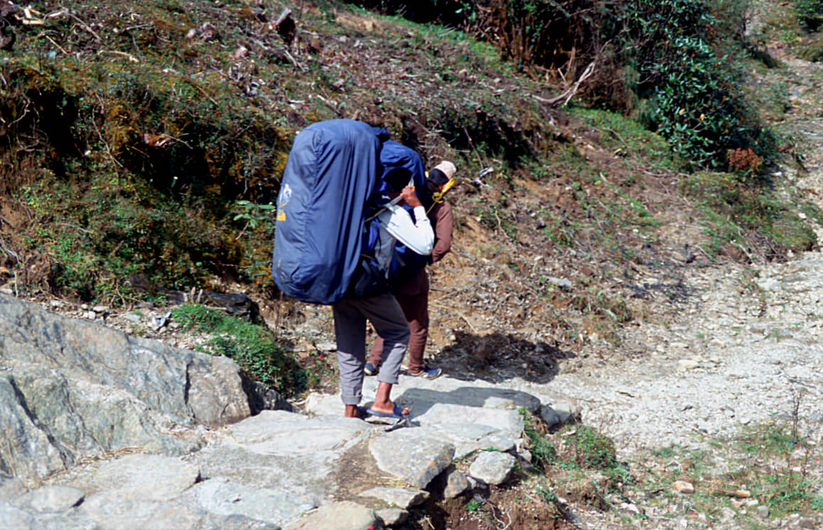
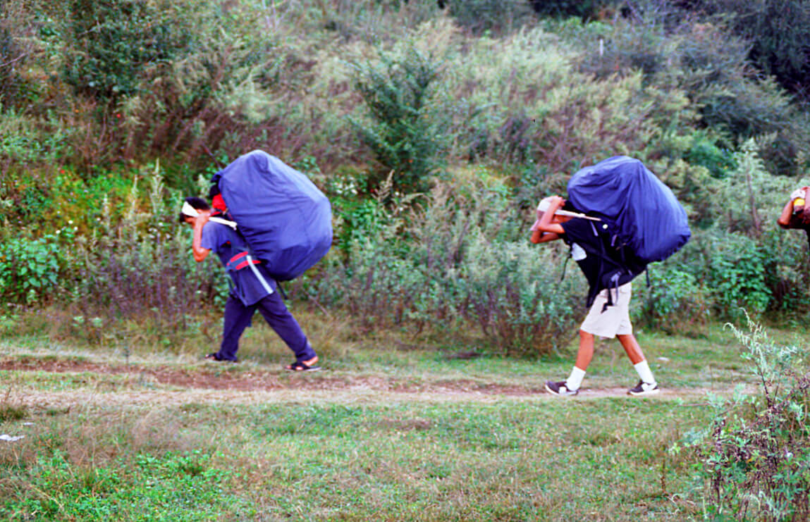
Preparing for an Everest trek is not that simple. Health holds a role of primary importance. No one ventures into the high mountains without being in excellent physical condition. The equipment taken along must be of good quality, but above all light. Preparing your backpack is also a challenge. Do not overload yourself, get rid of the unnecessary, of your comfort. All the grams gained at the beginning will make you happy when the slope will become steeper or when the oxygen will come to miss. The route will also be an important choice. The route to Everest and beyond can take more than a month, depending on what you want to accomplish. Whatever your choices, Nepal is a country to discover or rediscover.
Arrival in Kathmandu
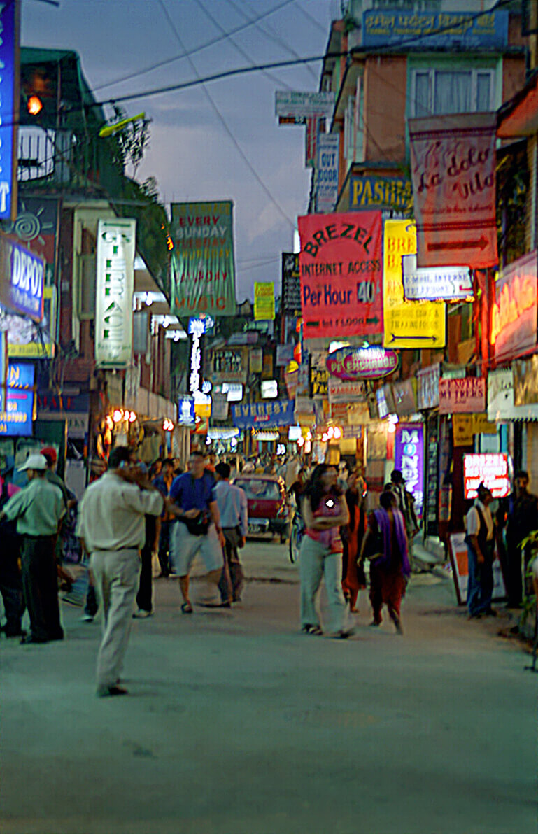
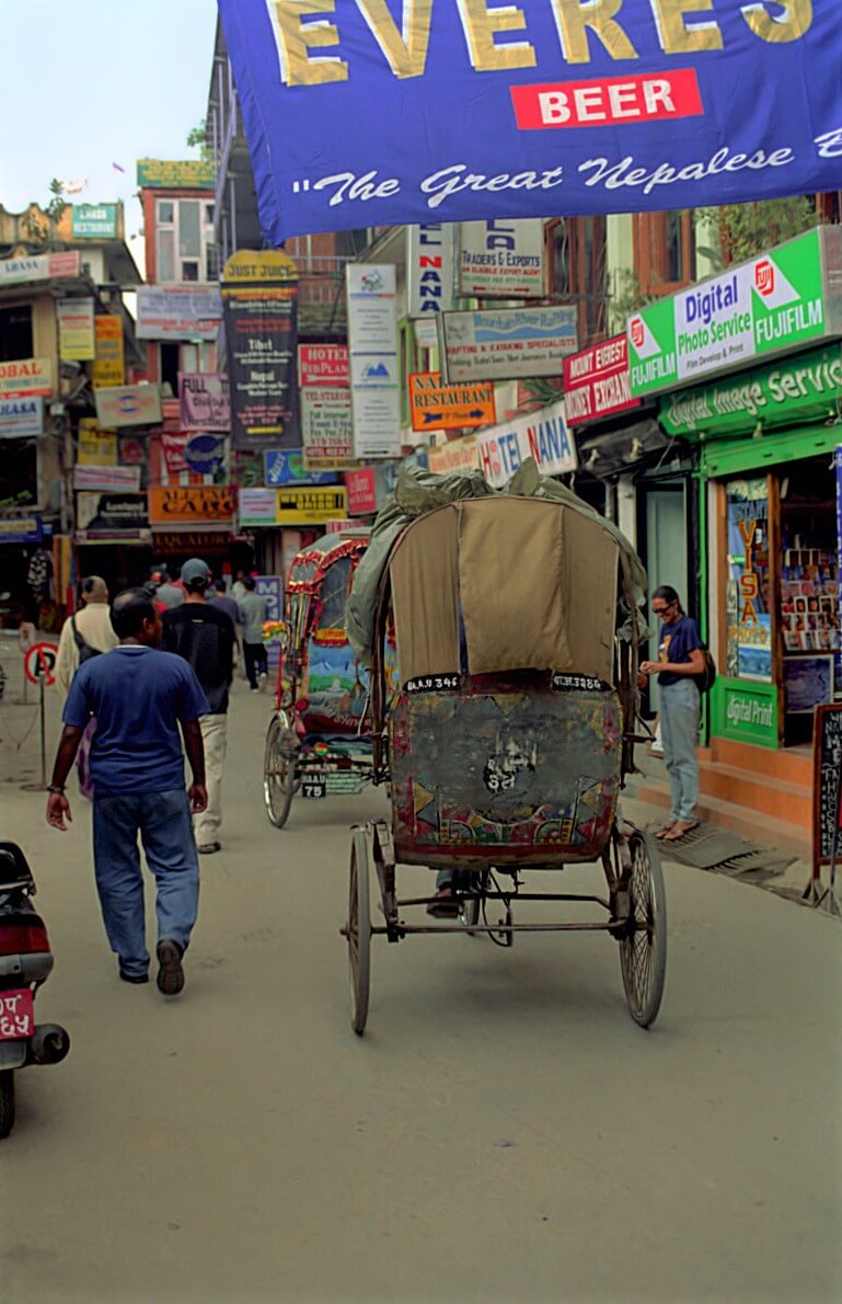
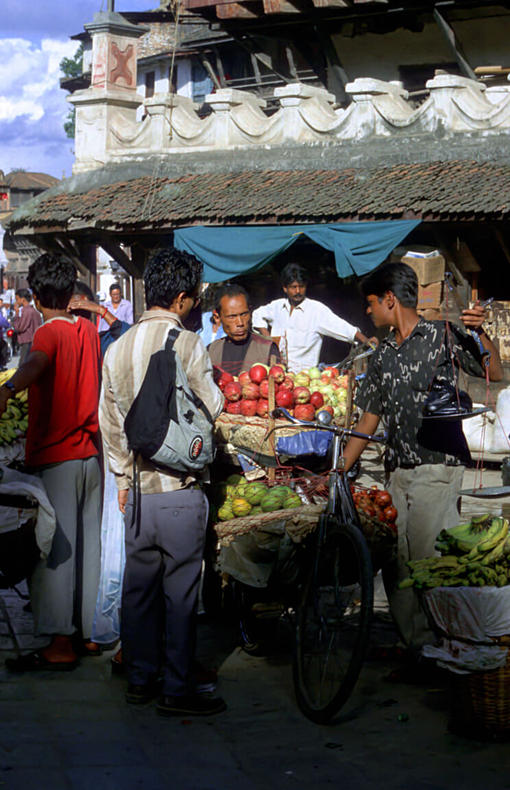
Arriving at Kathmandu Airport, the first impression is disorienting. A large hall, drink machines, but no stores, no conveyor belts, no advertising signs. It seems like a travel in the past because of the simplicity of the place. As you leave the main hall, a cloud of cabs asks you where you want to go. A word returns on all the languages, “Thamel”. Yes, it is indeed there that all the tourists go. So, we’re going there too.
Thamel
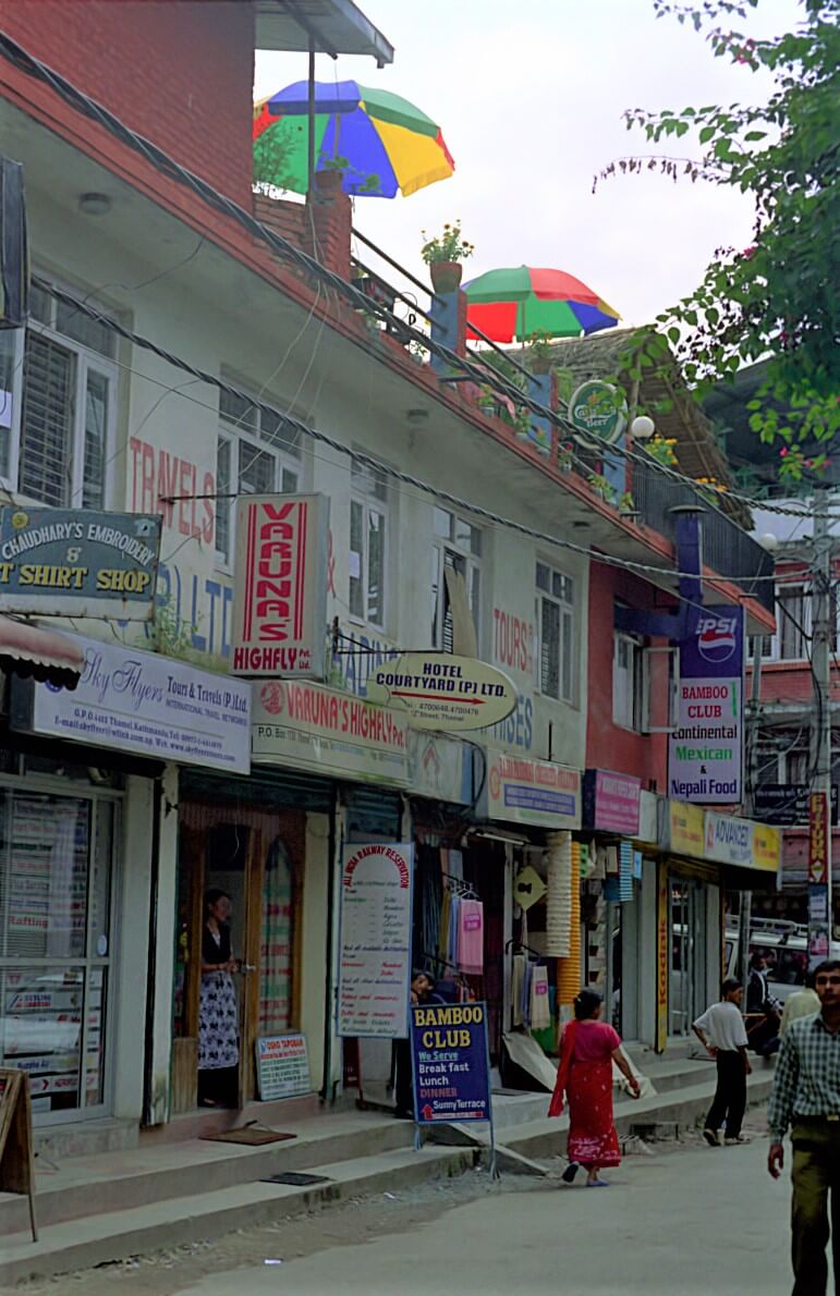
The Thamel district is located 5km from the airport. Cab is the only way to get there. Thamel is the place where all the tourists, trekkers, mountaineers, meet. All the western hotels gather there.
Durbar square
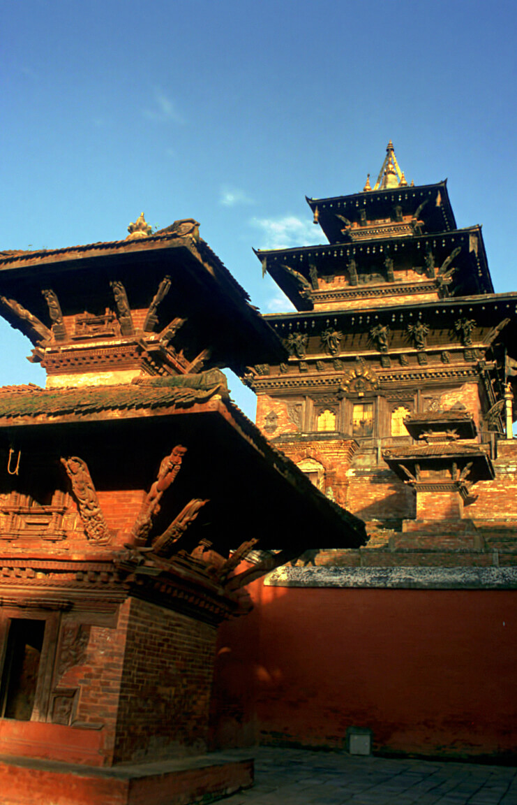
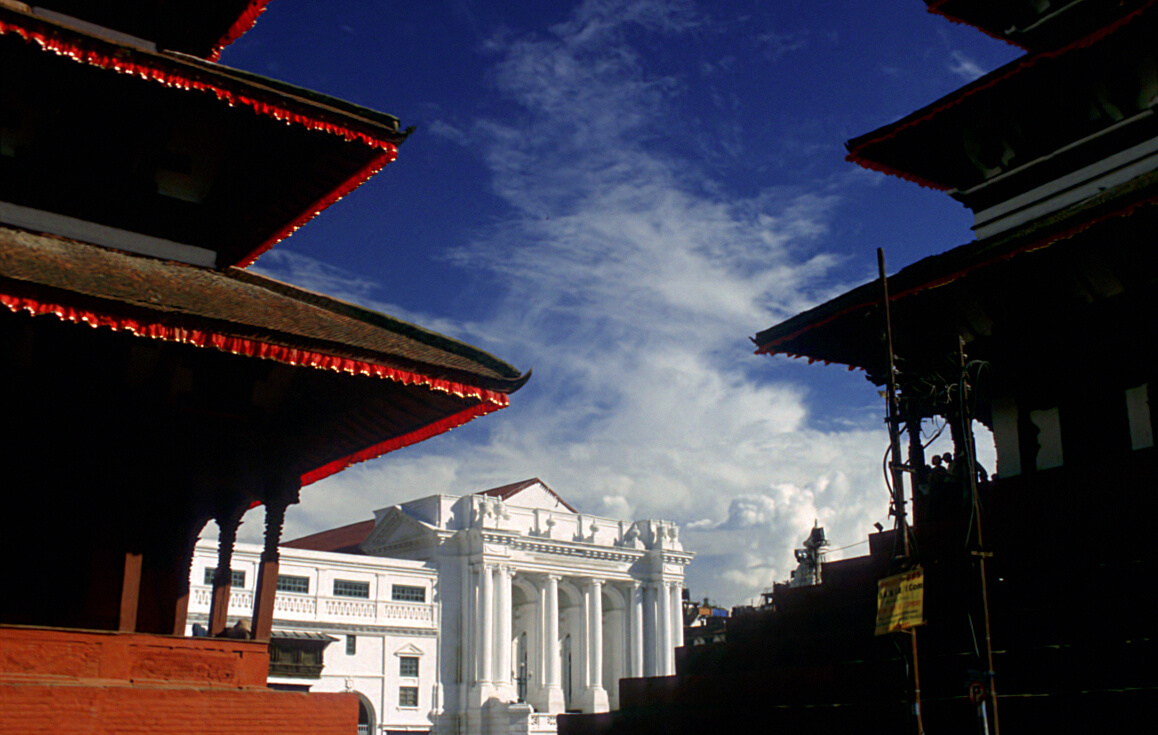
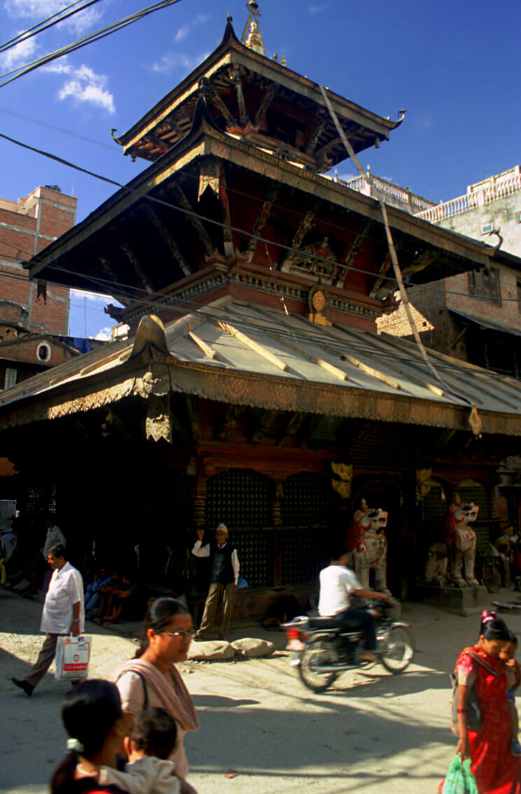
Durbar square could be compared to the old area of a modern city. It is located in the middle of Kathmandu, opposite the old royal palace. The whole area is a UNESCO heritage monument.
Pashupatinath
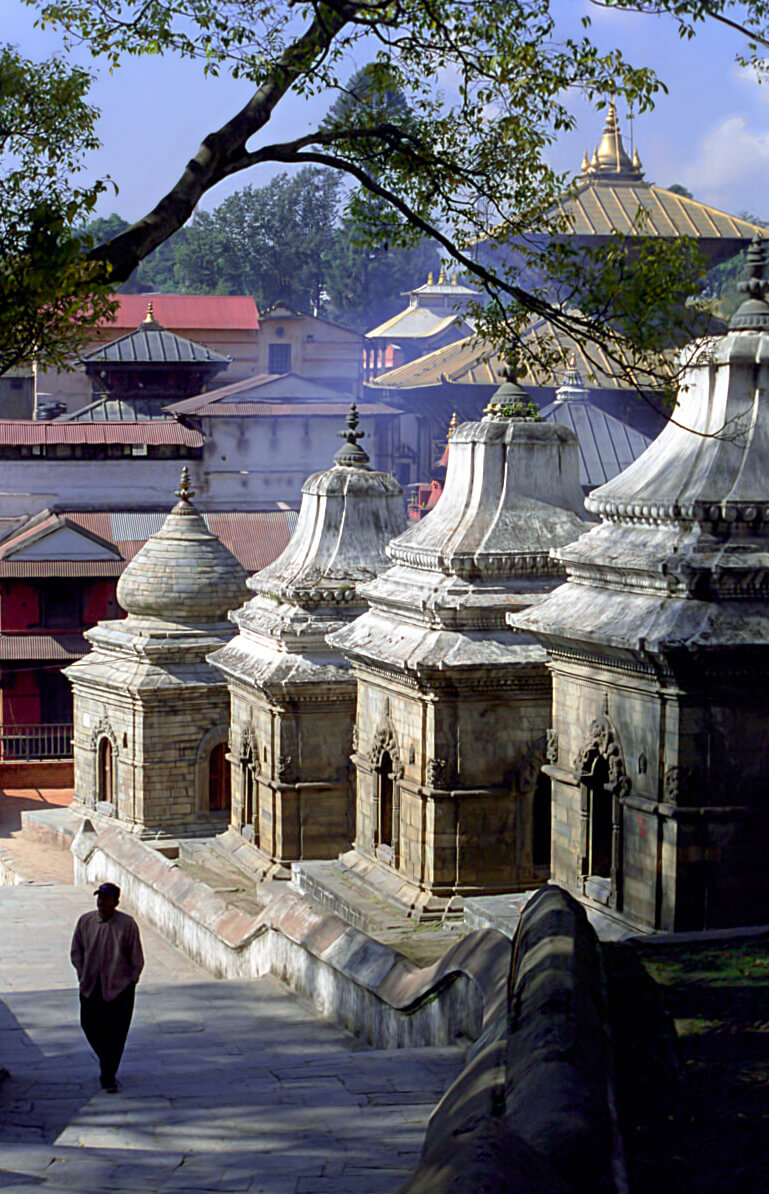
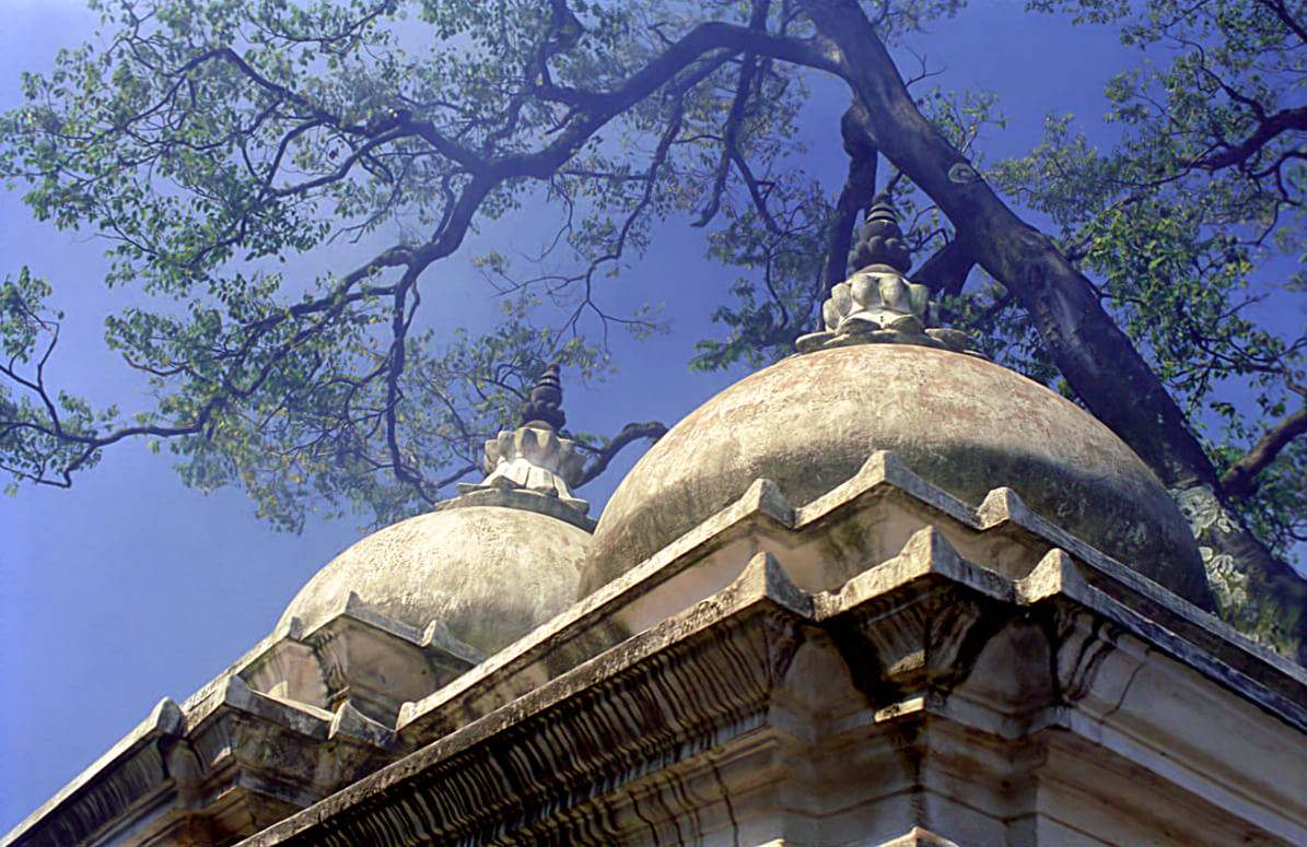
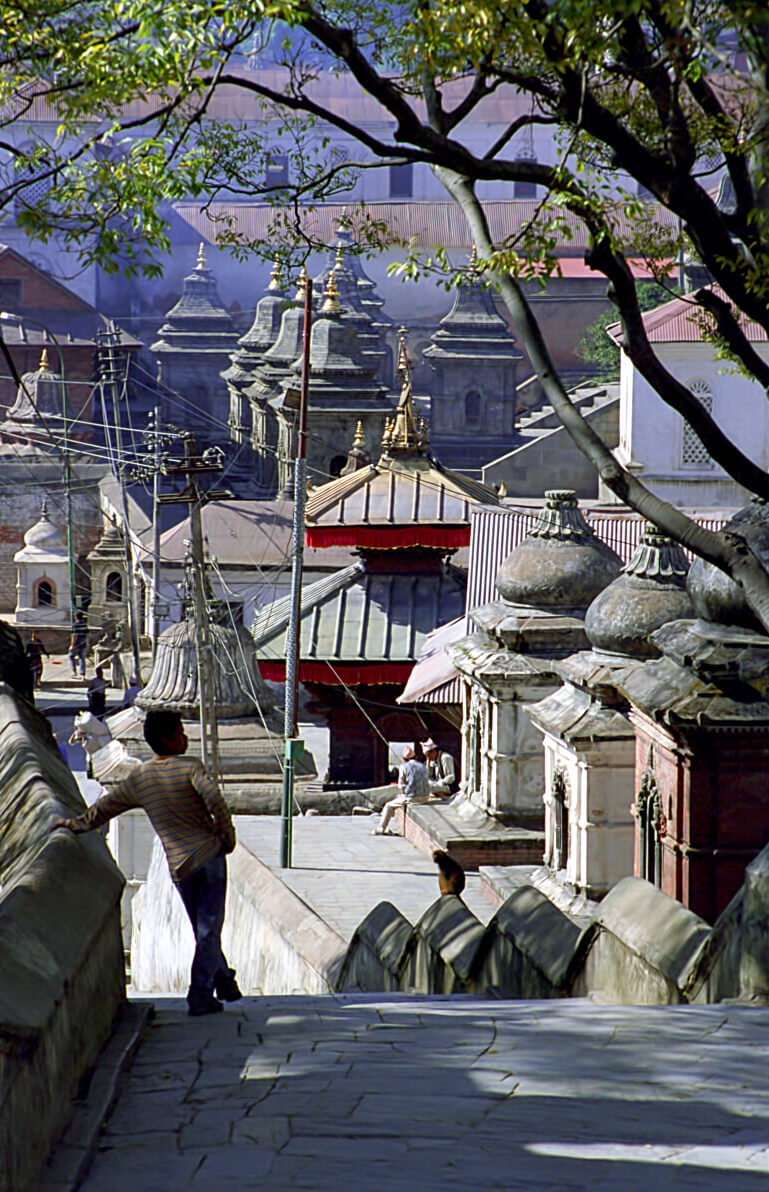
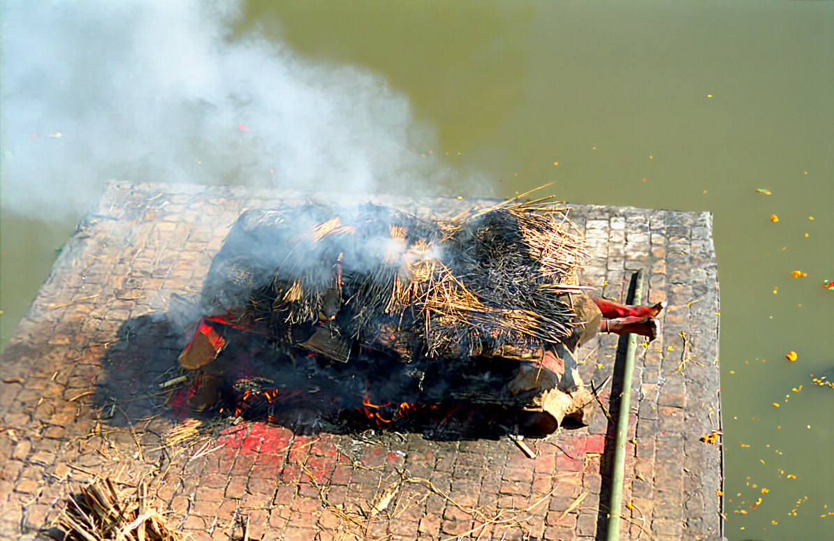
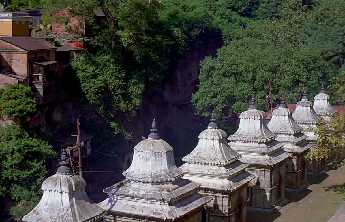
The Pashupatinath temple is a hidden Hindu place. It is located near the airport, on the bank of the “Bagmati”river. The district of Pashupatinath includes a good ten temples. Hindus practice cremation of the dead in the open air, which may shock the uninformed tourist.
Swayambhunath
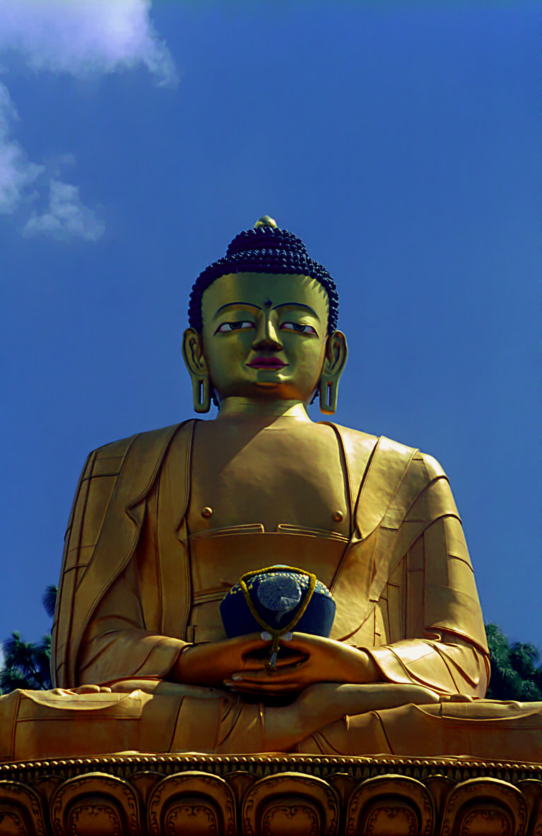
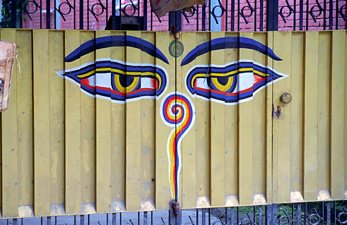
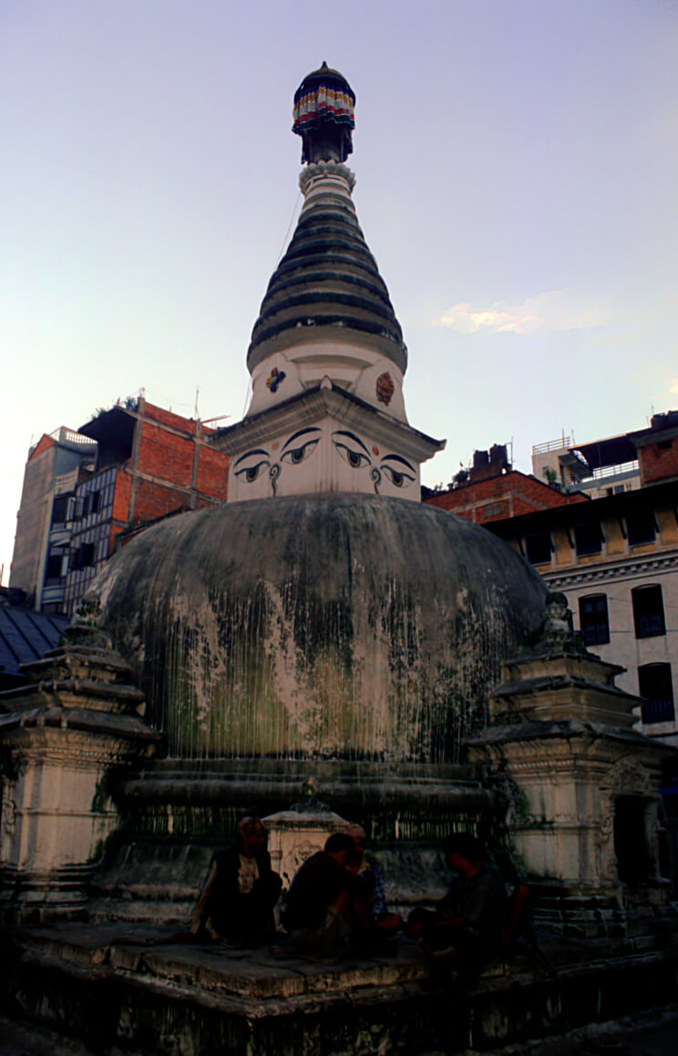
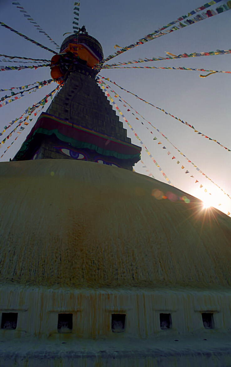
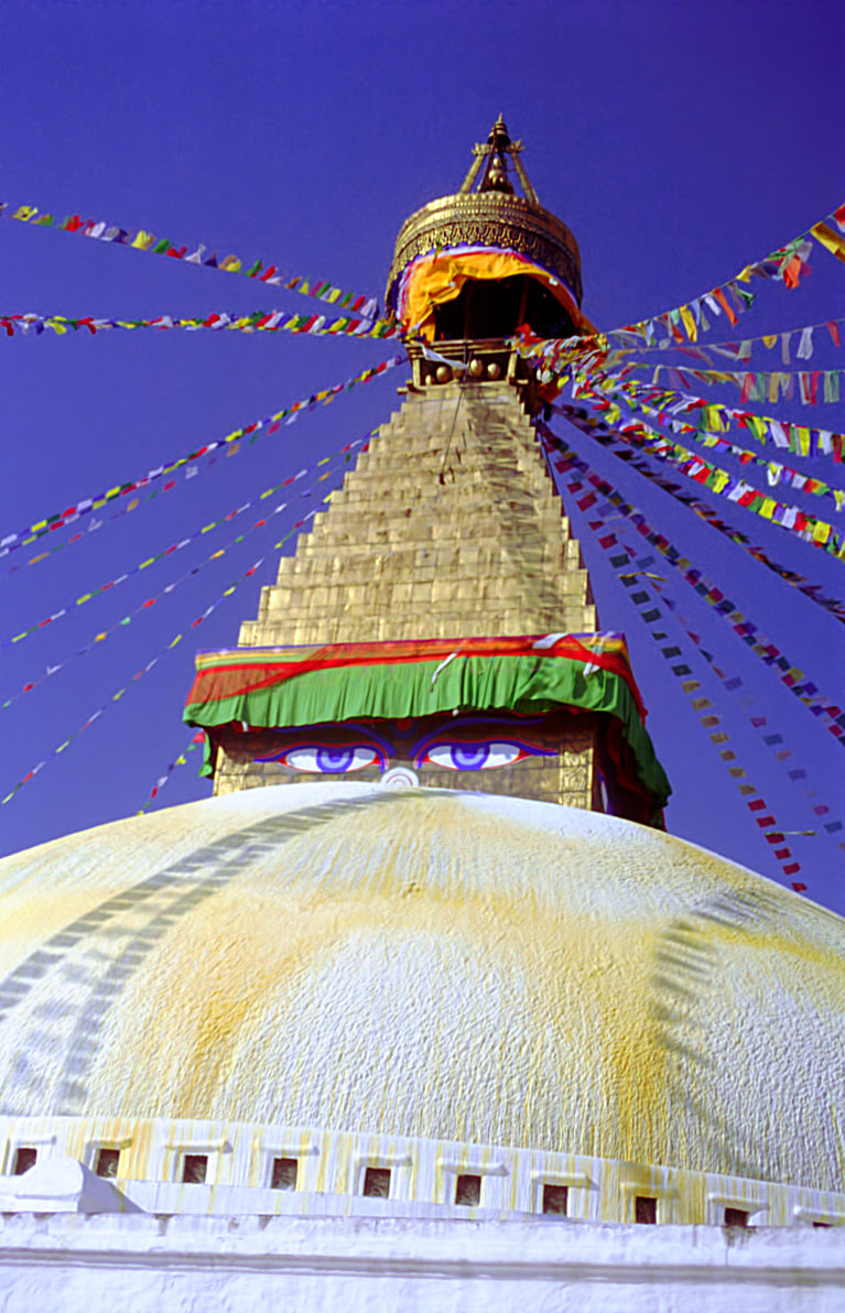
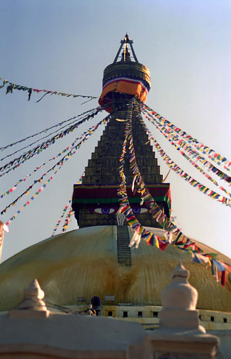
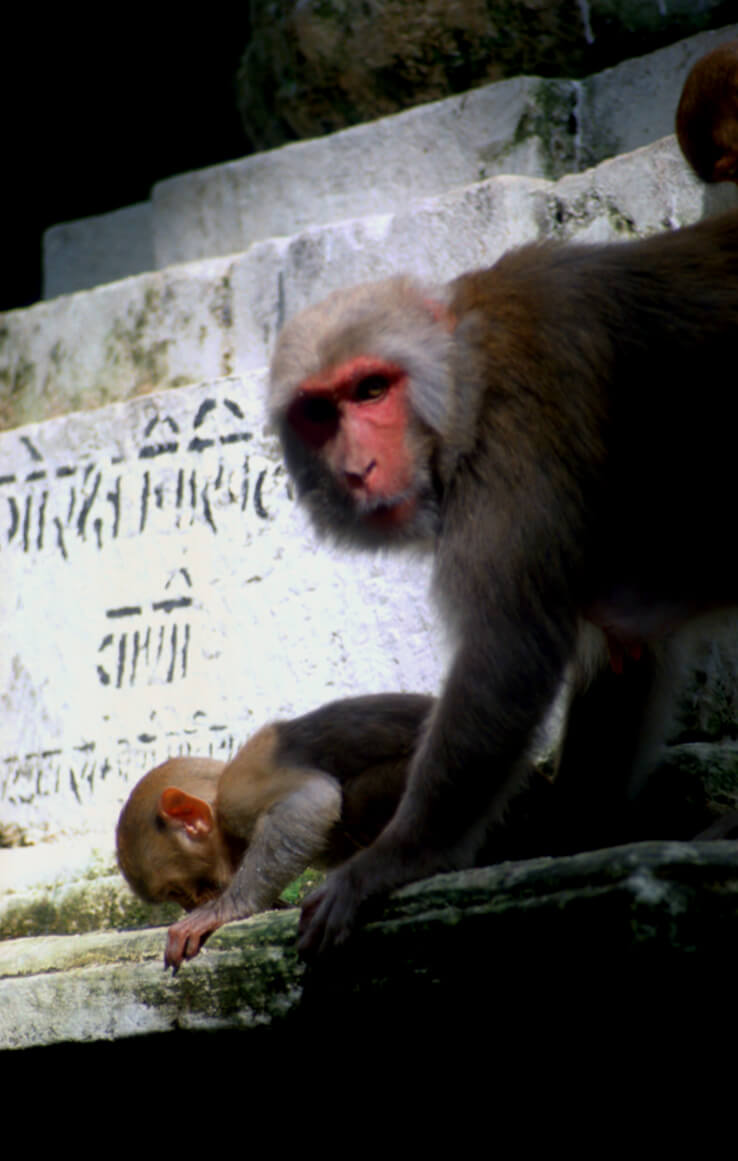
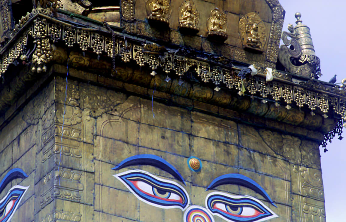
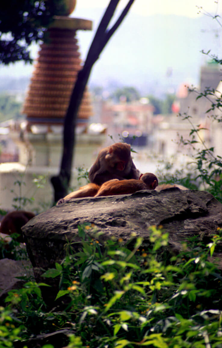
As for Swayambhunath, its temple is located in the northwest of Thamel, on a hill. Very recognizable by its domed temple on which a stupa has been erected with Buddha’s eyes looking in the four directions. The place has been invaded by monkeys.
Helambu
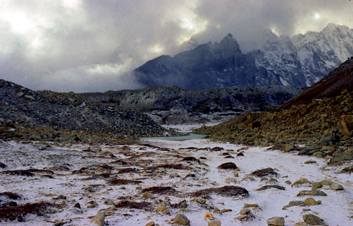
Before tackling the Everest route, a small acclimatization period has been planned. The trek is a taste of the high mountains and will start from Kathmandu to reach Langtang National Park. The trip is by bus, about 80km drive from the capital. The highest peak is at 3700m and may be covered with snow in early spring. The trekking duration is about 5 days.
Lukla
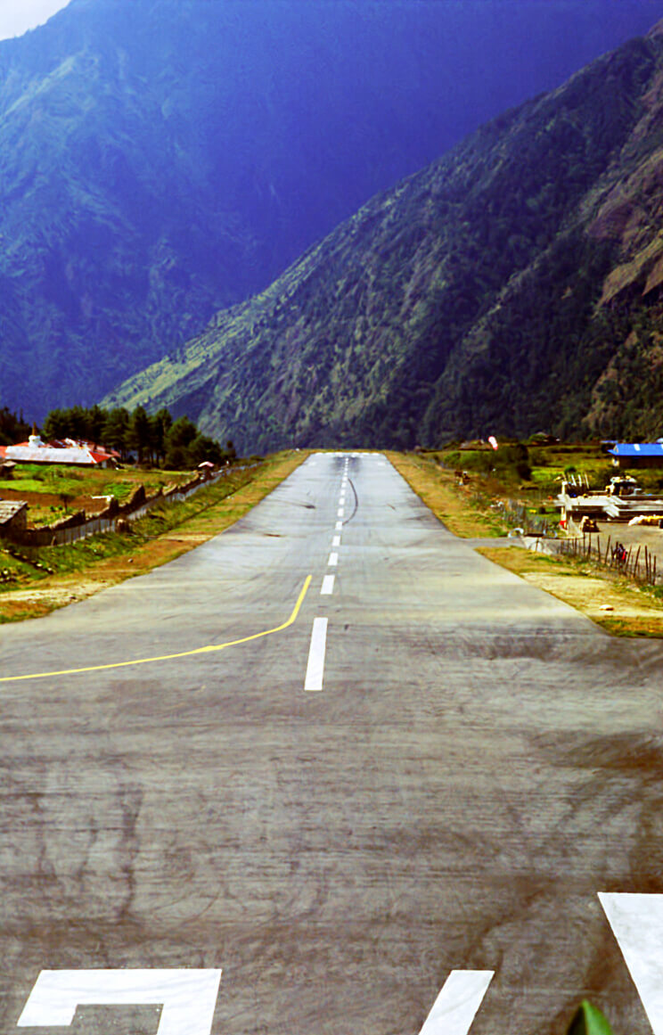
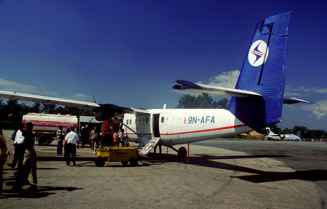
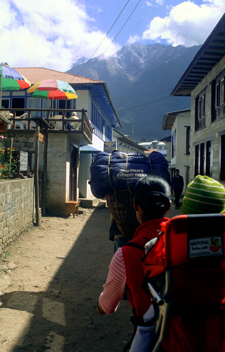
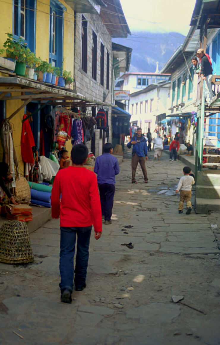
All the routes to Everest start in Lukla. And Lukla is a small village with the only landing strip in the area. And what a strip it is, the shortest strip there is in the world.
Namche Bazaar
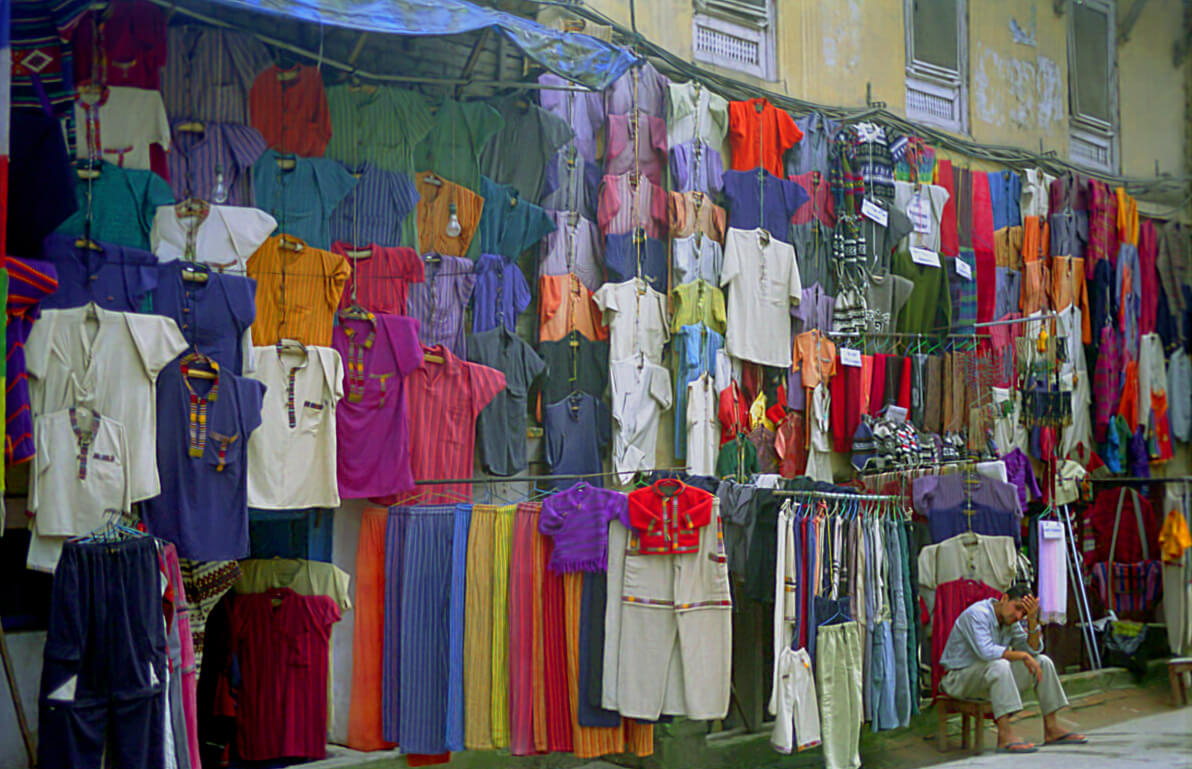
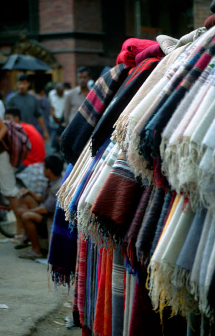
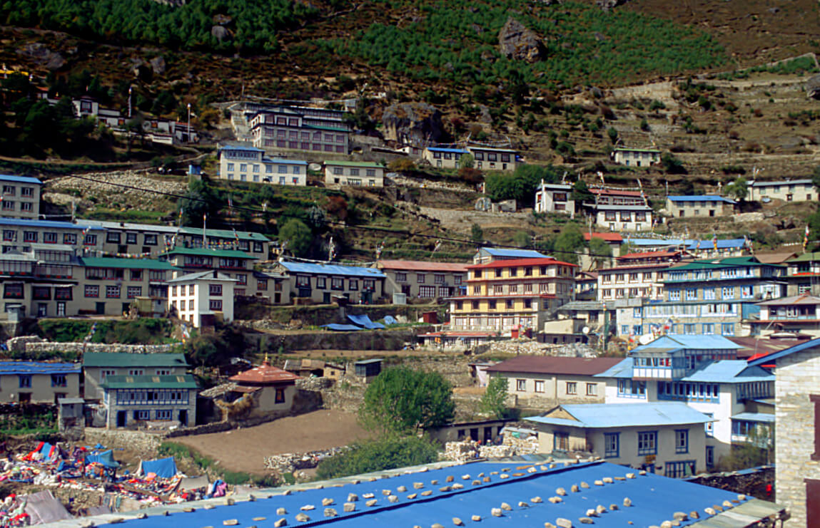
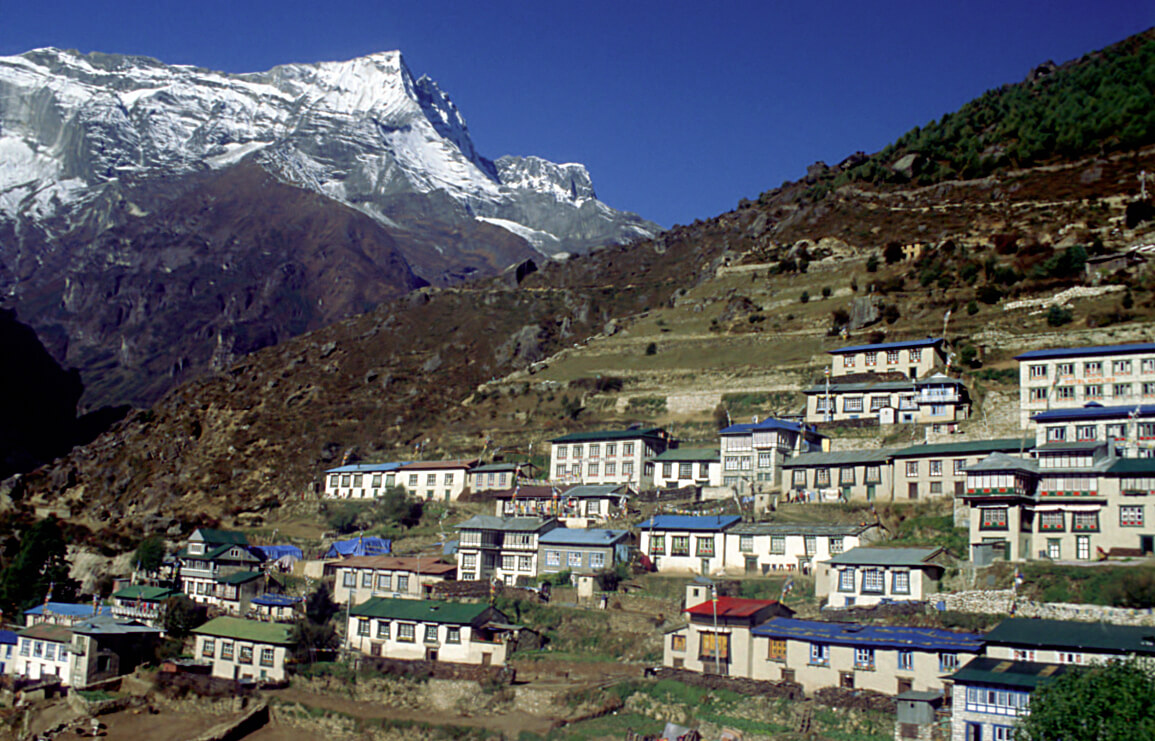
From Lukla, the route continues through Phakding, then Namche Bazaar. Namche Bazaar is one of the main commercial centers on the road to Everest. This is where everything is sold or traded. Namche Bazaar is also a place where mountaineers try to acclimatize by making round trips to the nearby peaks during the day. It is a bit of a low altitude base camp, even though we are already over 3000m.
Tengboche
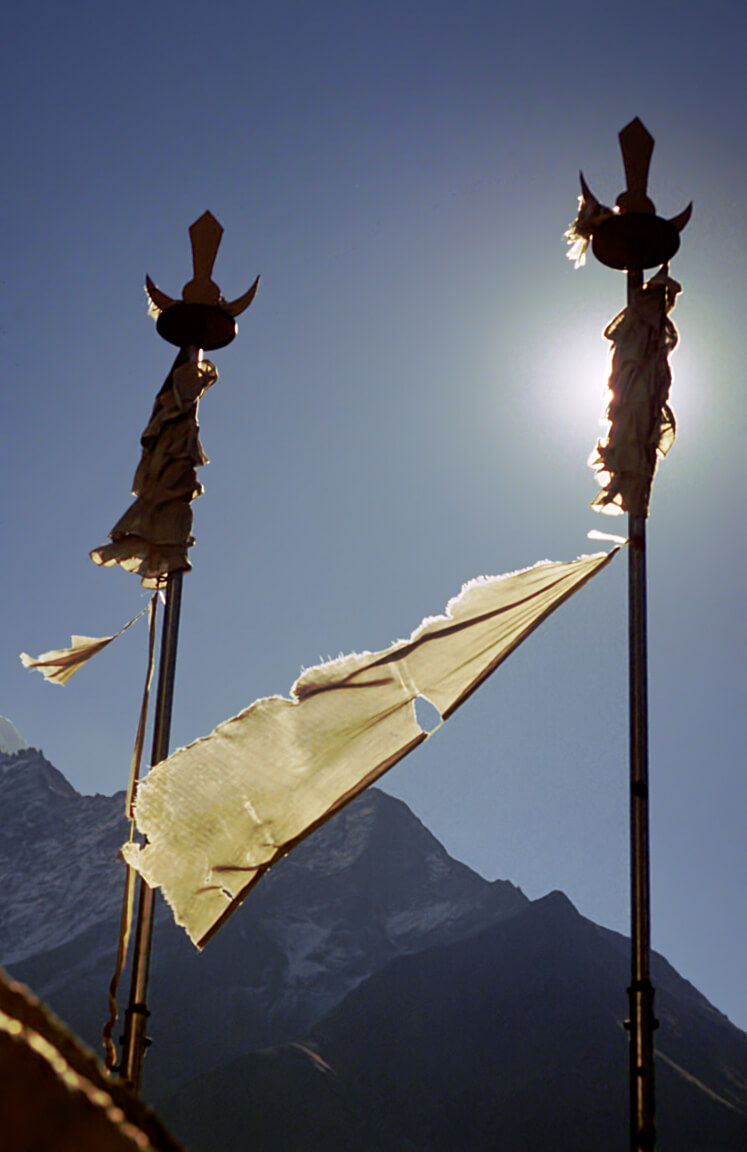
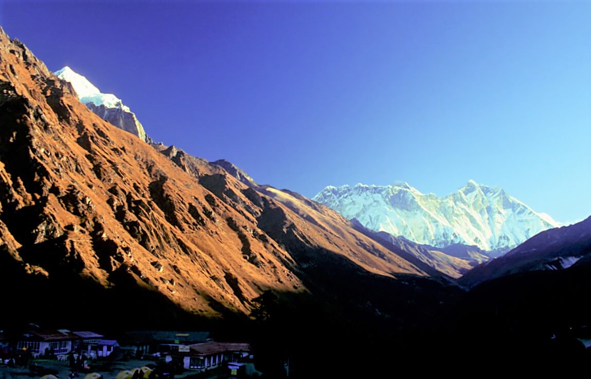
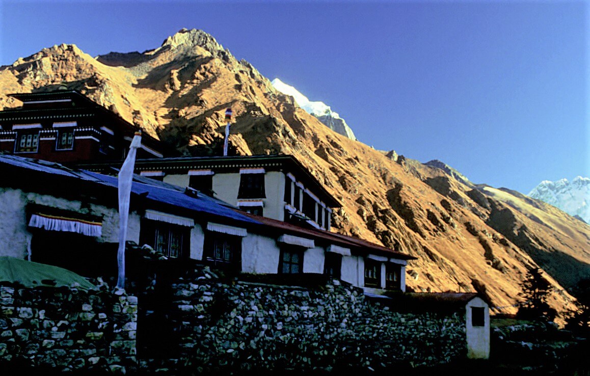
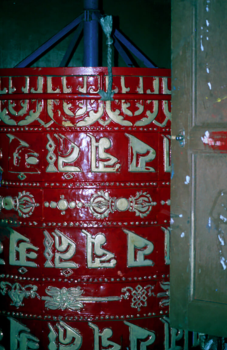
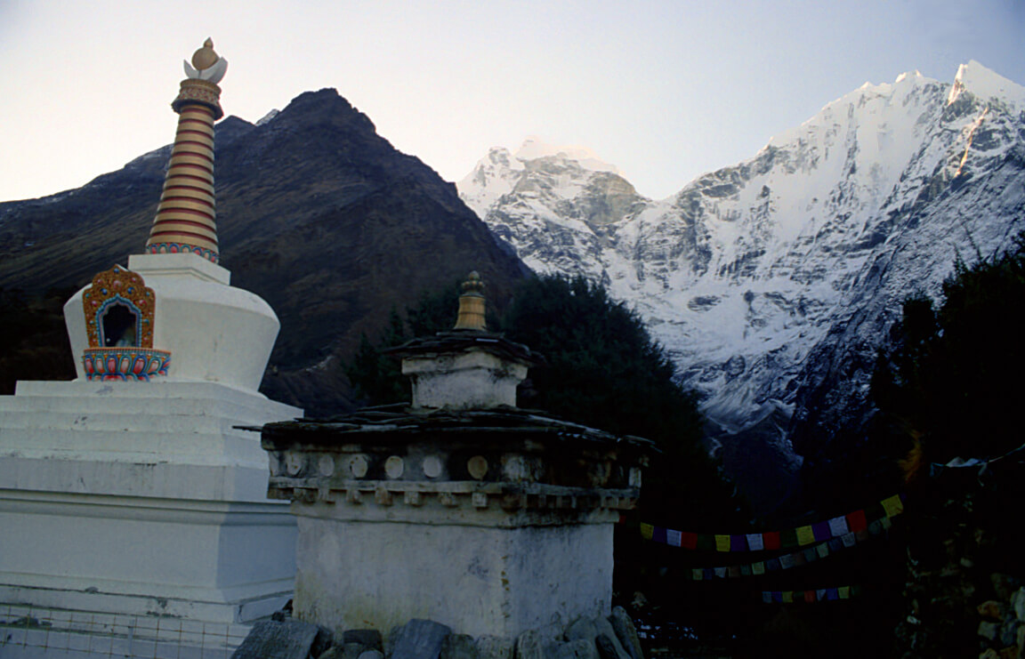
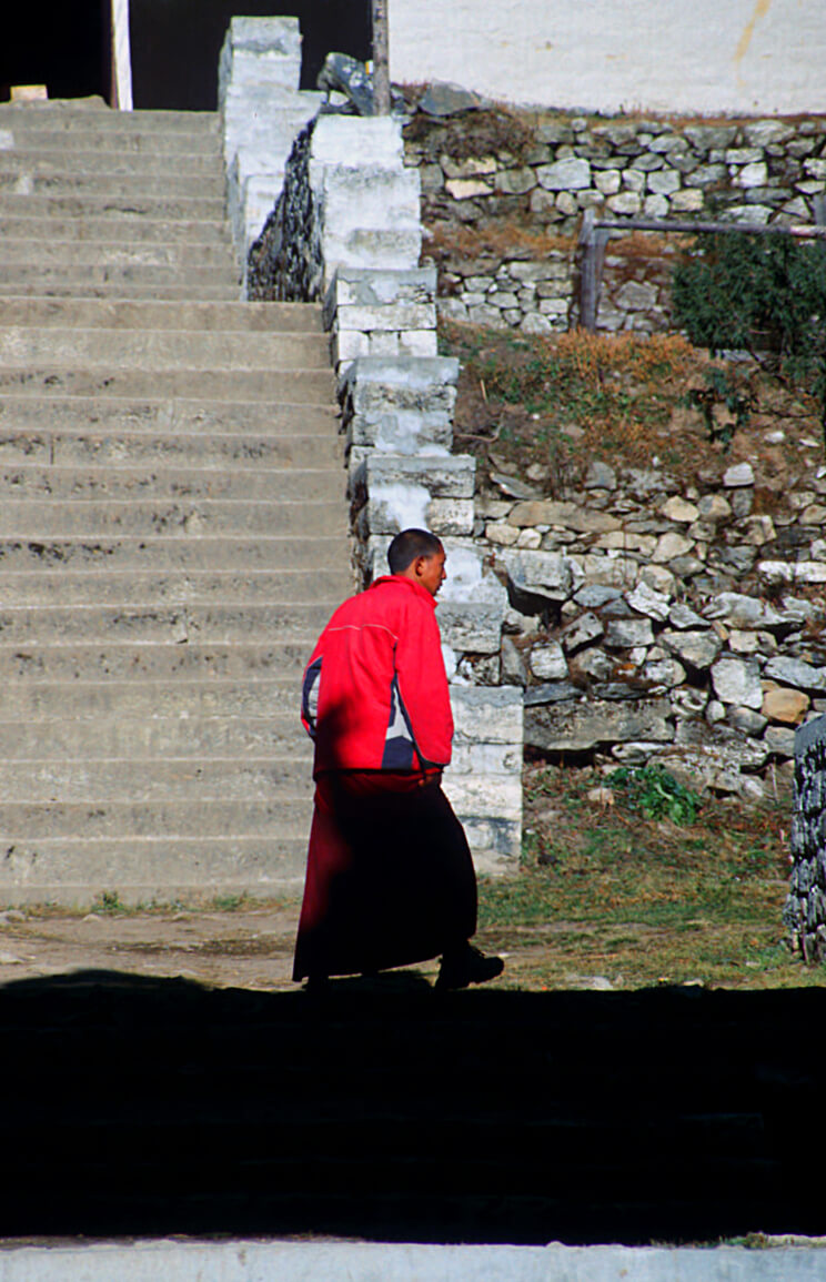
Tengboche is the last and highest monastery on the way to Everest. In the evening, songs rise from the common room and the priests pray for the travelers. It is possible to participate in the ceremony.
Dingboche
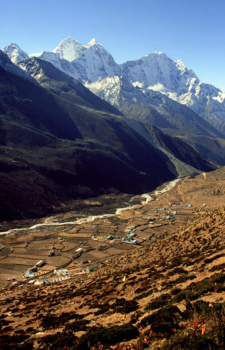
Dingboche is located in the valley on the route to Everest.
Lobuche
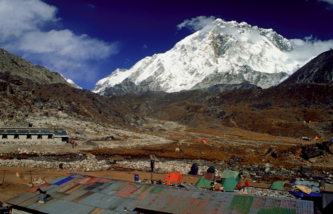
Lobuche is not directly on the road to base camp, but it is a nice place to spend at least one night and acclimatize some more.
Gorakshep
Gorakshep is the last stop before reaching the base camp and the route to Everest. It is also from this place where you can start early in the morning to climb Kala Patthar.
Kala Patthar (5643m)
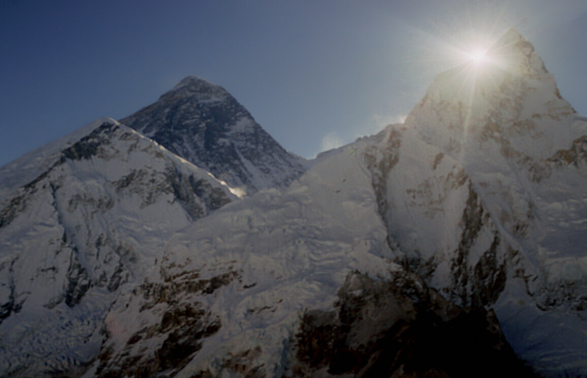
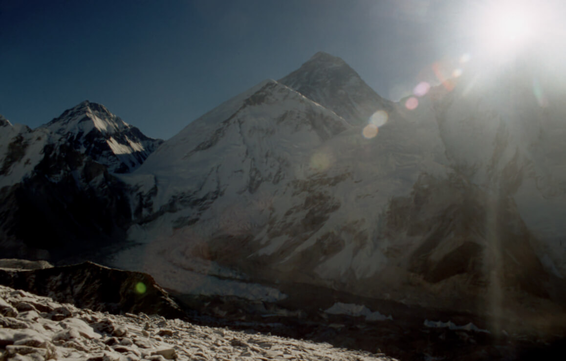
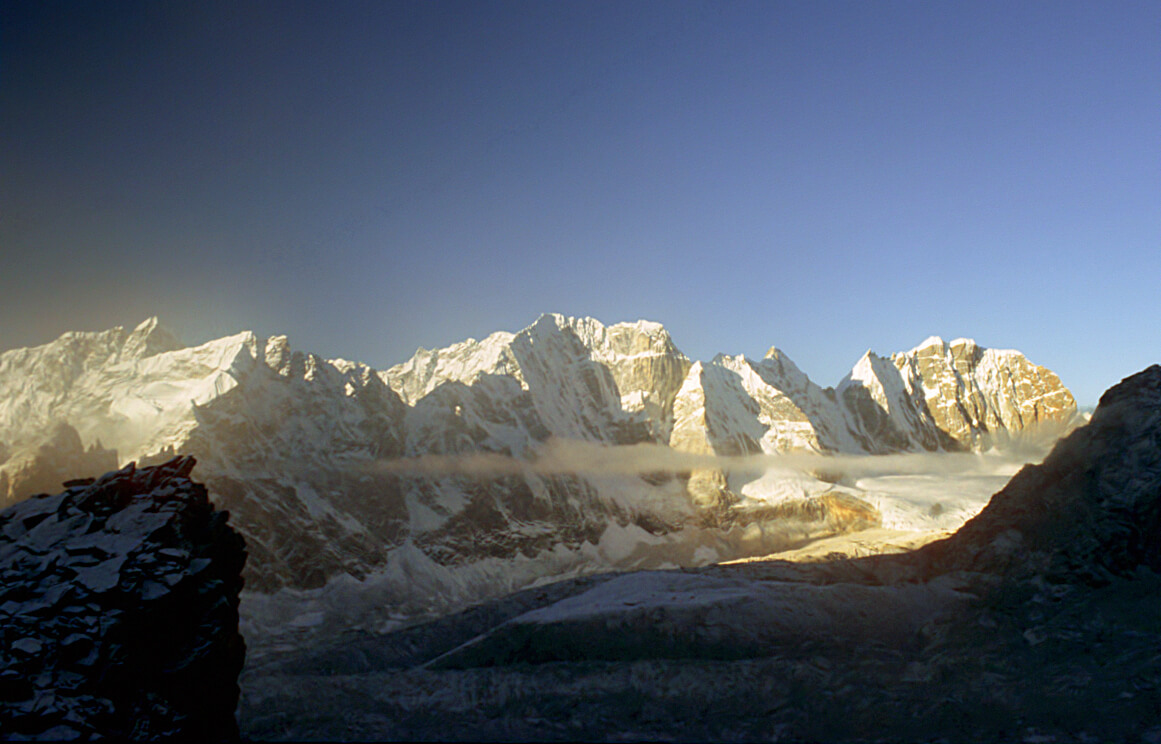
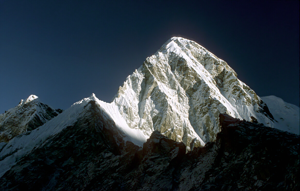
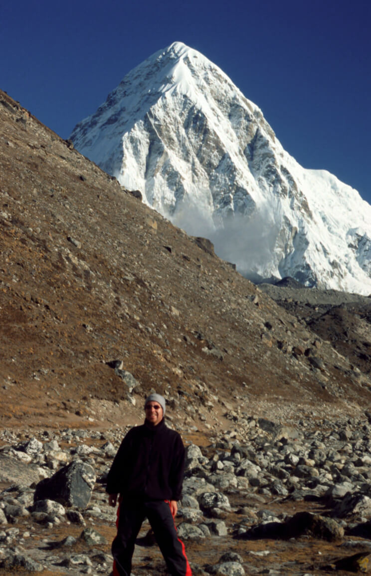
The Kala Patthar is a peak with an altitude of 5643m. All hikers who do not venture beyond the base camp will often climb it, if only for the view of Everest. But, you have to leave at dawn, before sunrise to have a chance to photograph Everest in its most beautiful golden dress.
Basecamp (5364m)
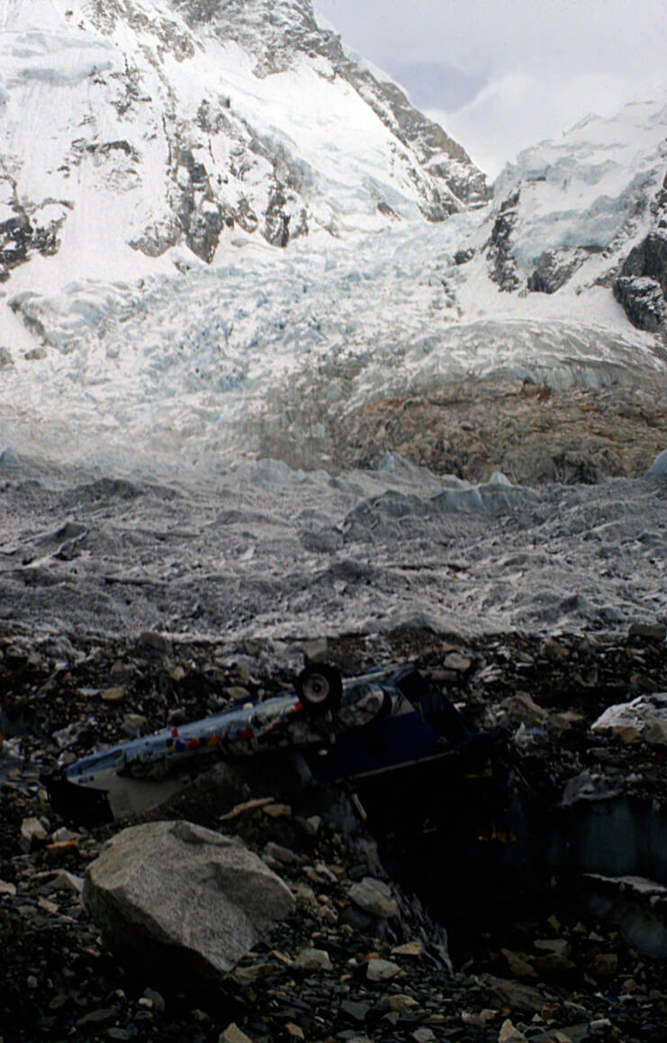
Basecamp is just a huge field of rocks, where climbers pitch their tents while waiting for a weather window. The wait can last for days, depending on the number of people in the area, the winds, and the temperature.
To the summit
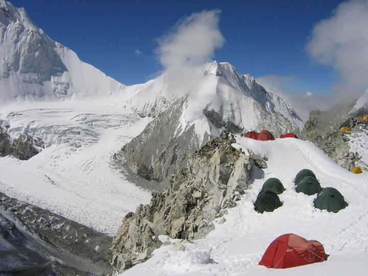
The summit is a series of base camps, four in all. Here we pitch the tent directly in the snow and take shelter from the wind as best we can. For obvious reasons of weight, the SLR camera was not on the travel beyond camp 1, at 6450m. The photo of camp 2, at 7100m is not mine, but does reflect the bivouac conditions throughout the trip.
Bhaktapur
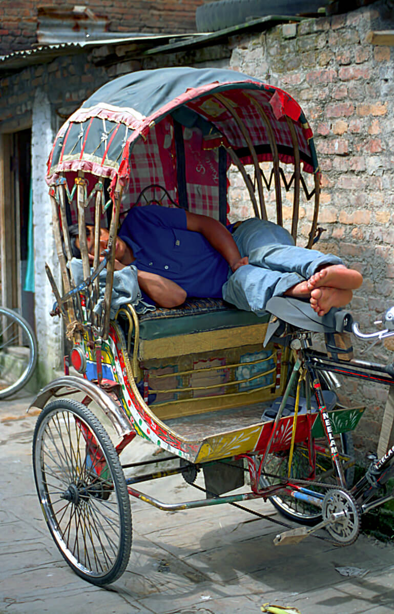
Returning from the high mountains, the desire to continue visiting this beautiful country remains a fixed idea. This time, it was by bicycle that the road was covered. There are several bike store owners only in Thamel.
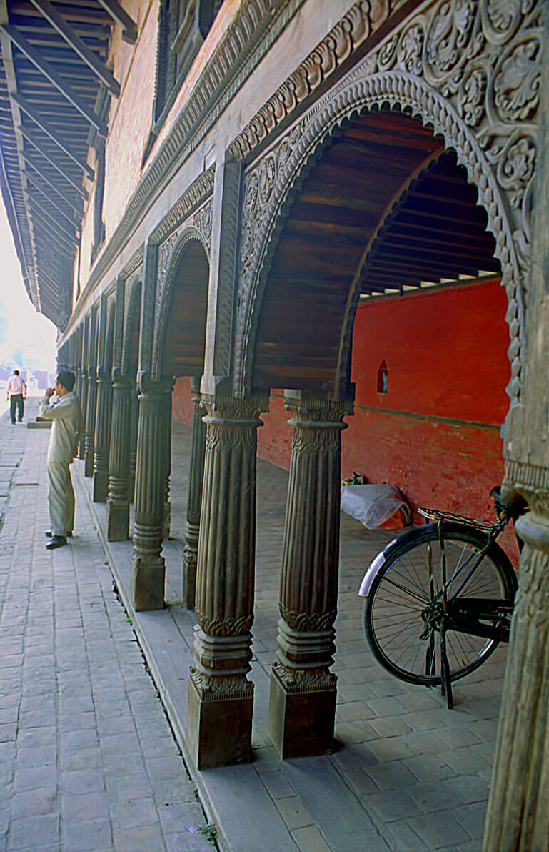
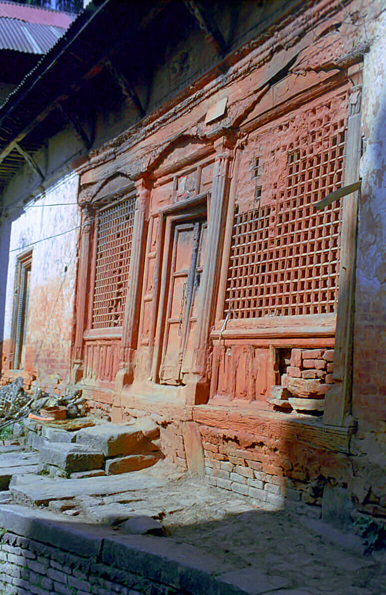
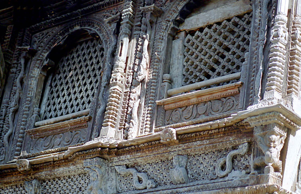
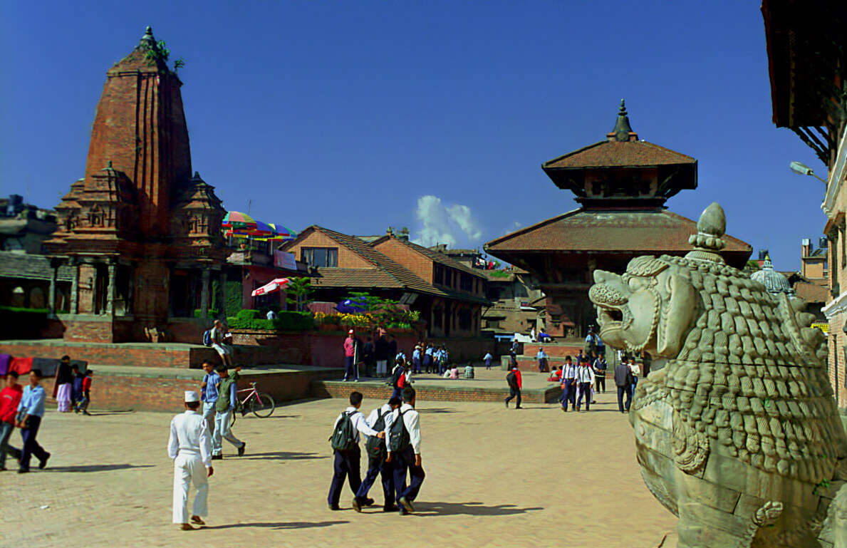
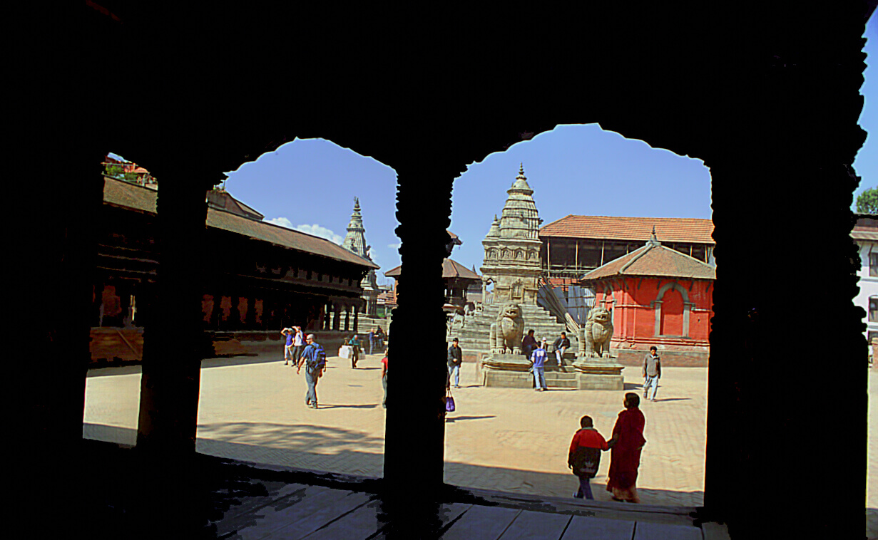
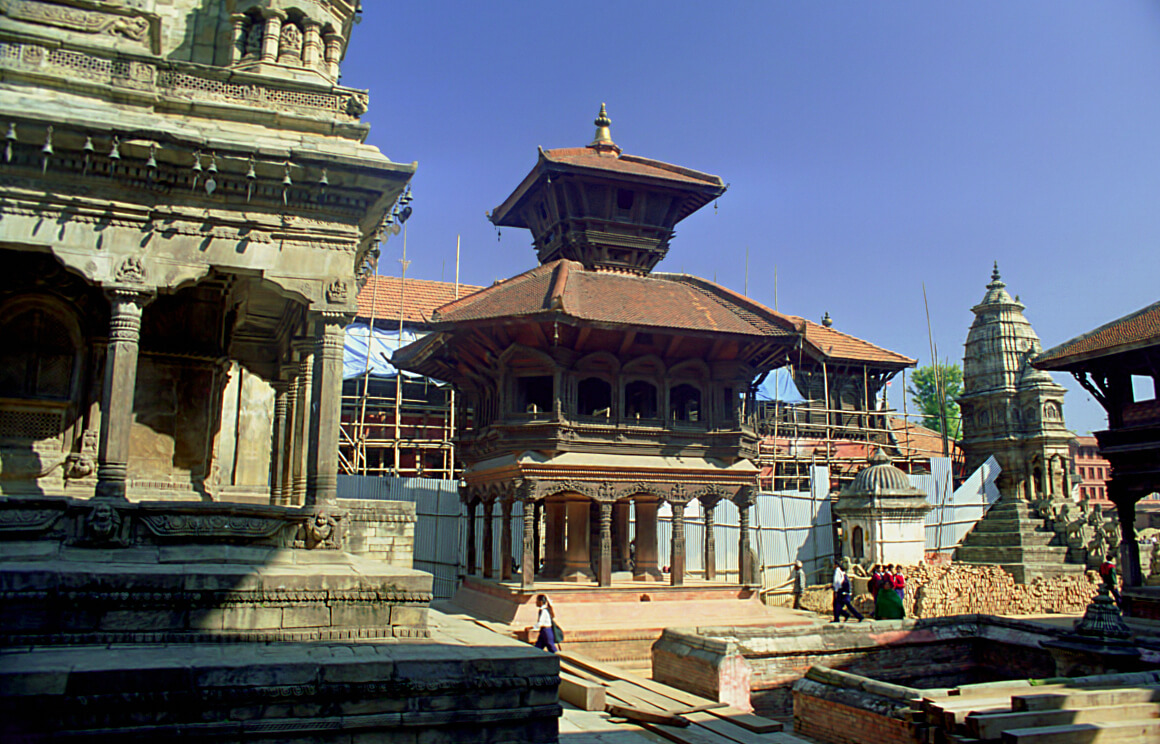
Bhaktapur is an old city, somewhat built on the model of Kathmandu’s “Durbar square”, unless it is the other way around. But here, the whole city is Hindu style, not just one part of it. Bhaktapur is 15km from the capital. By bike, it is better to follow the secondary road and thus avoid the heavy traffic.
Bhaktapur suffered an earthquake in 2015, which caused the destruction of its central square and many monuments. All the pictures in this post were taken in 2004, well before this tragedy.
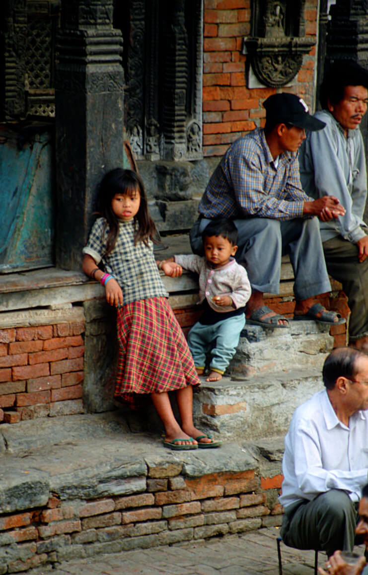
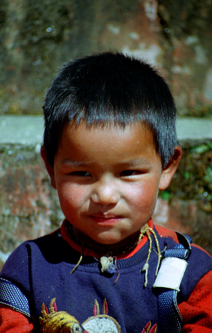
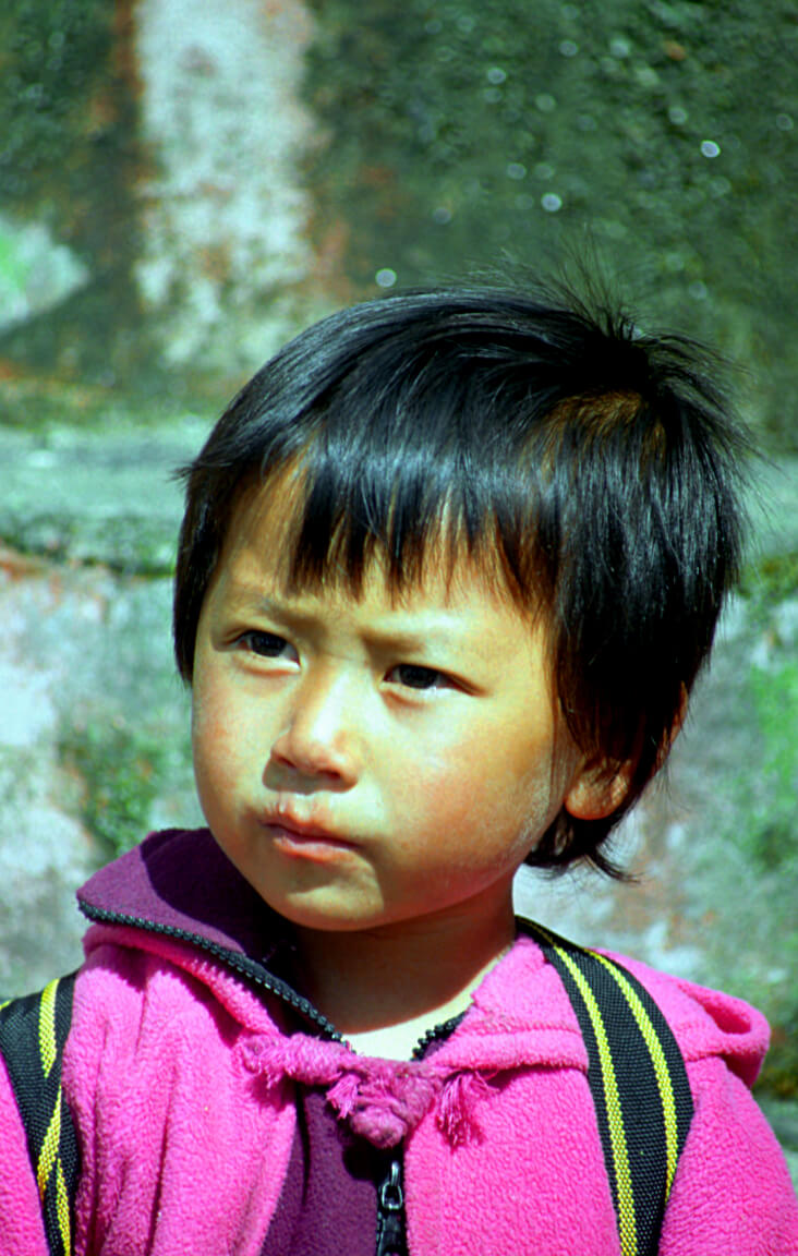
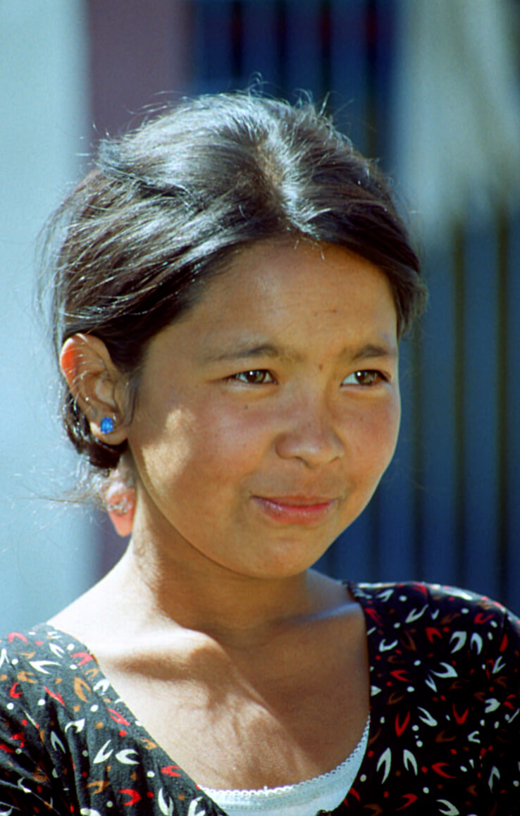
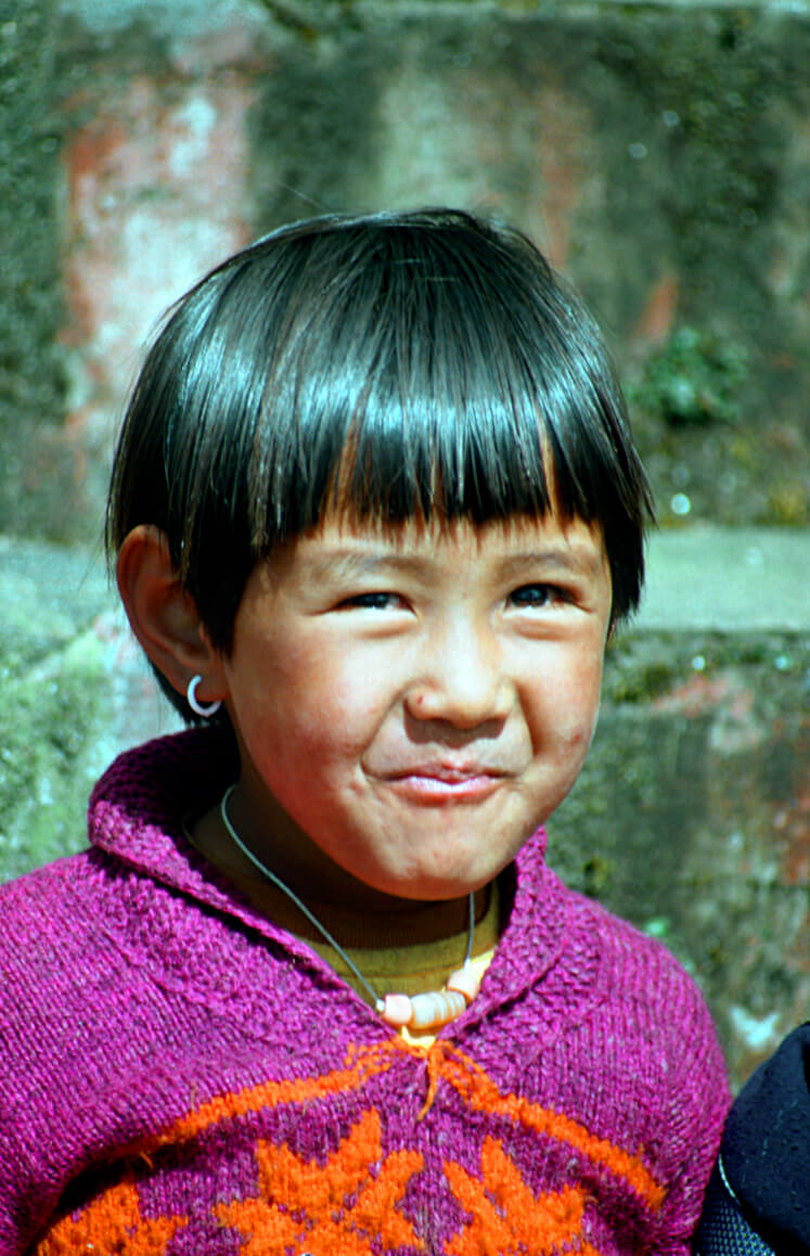
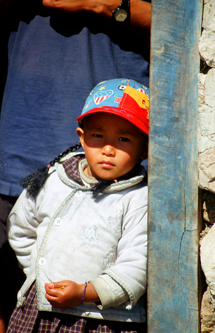
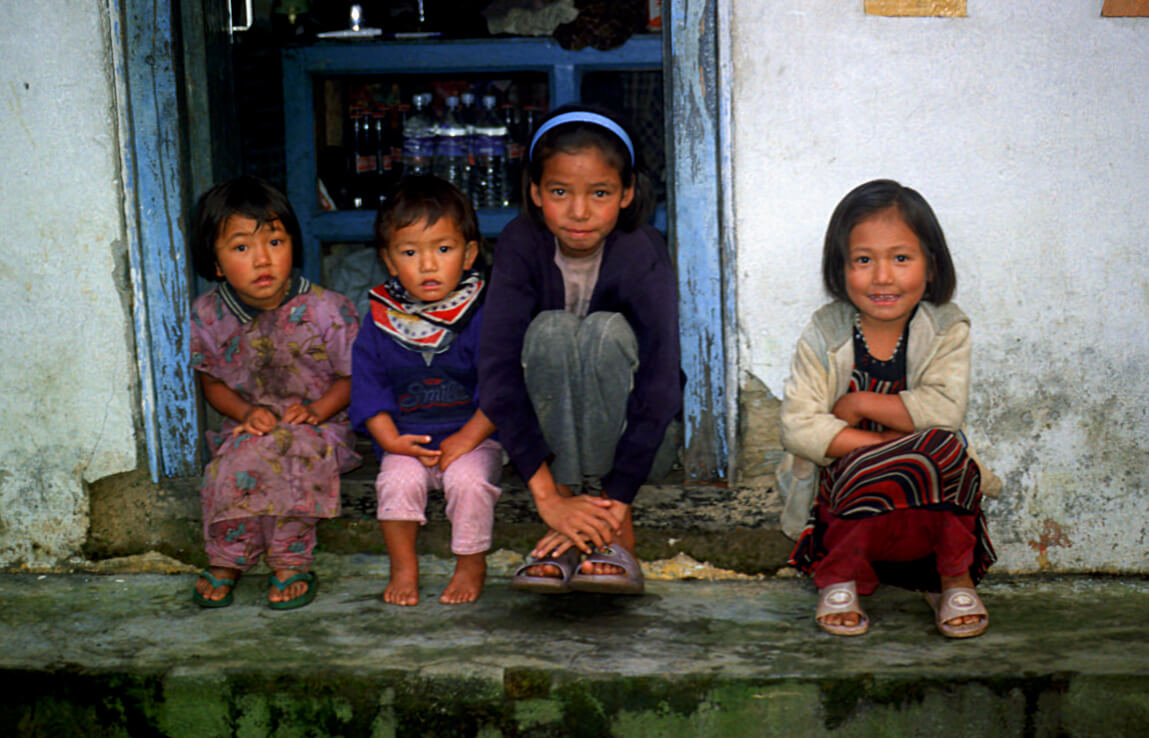
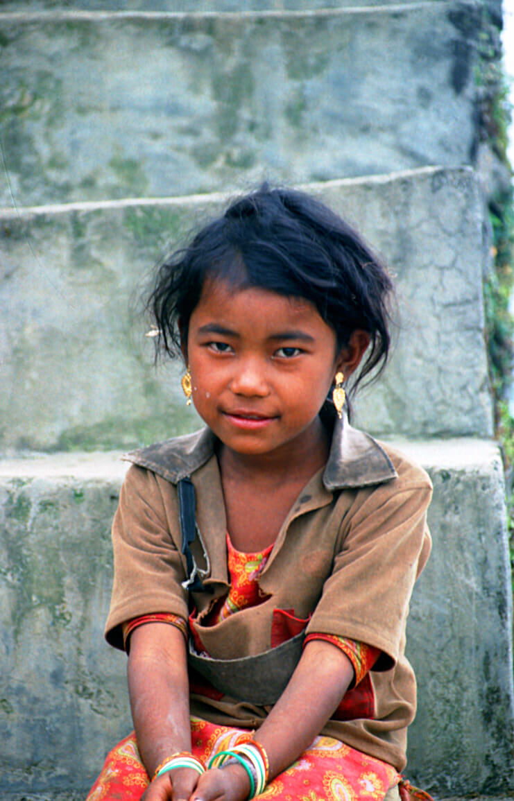
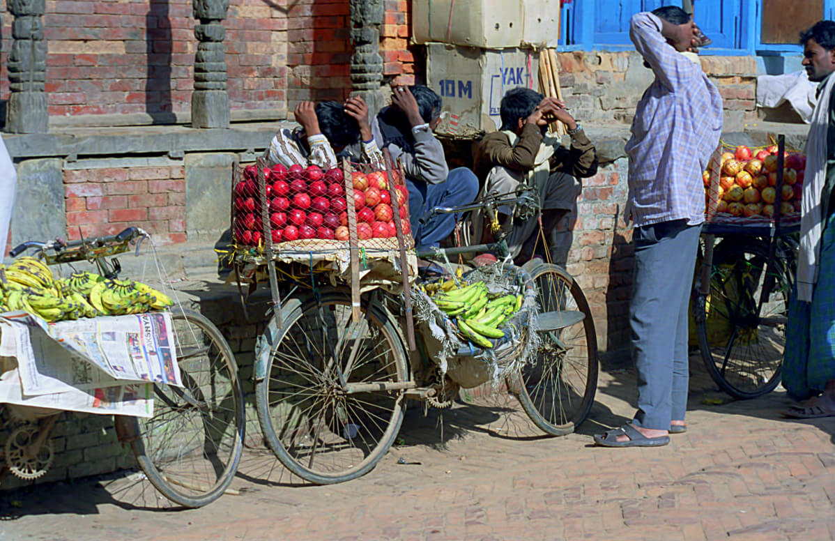
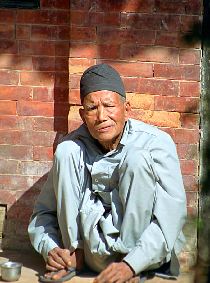
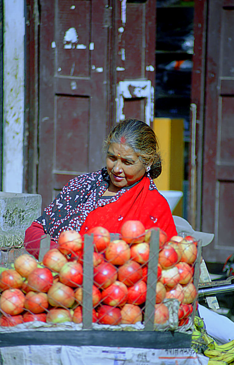
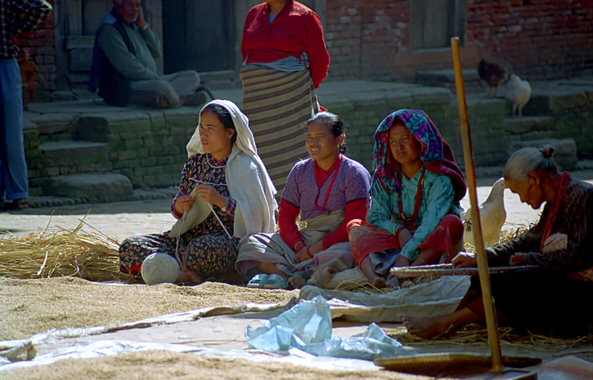
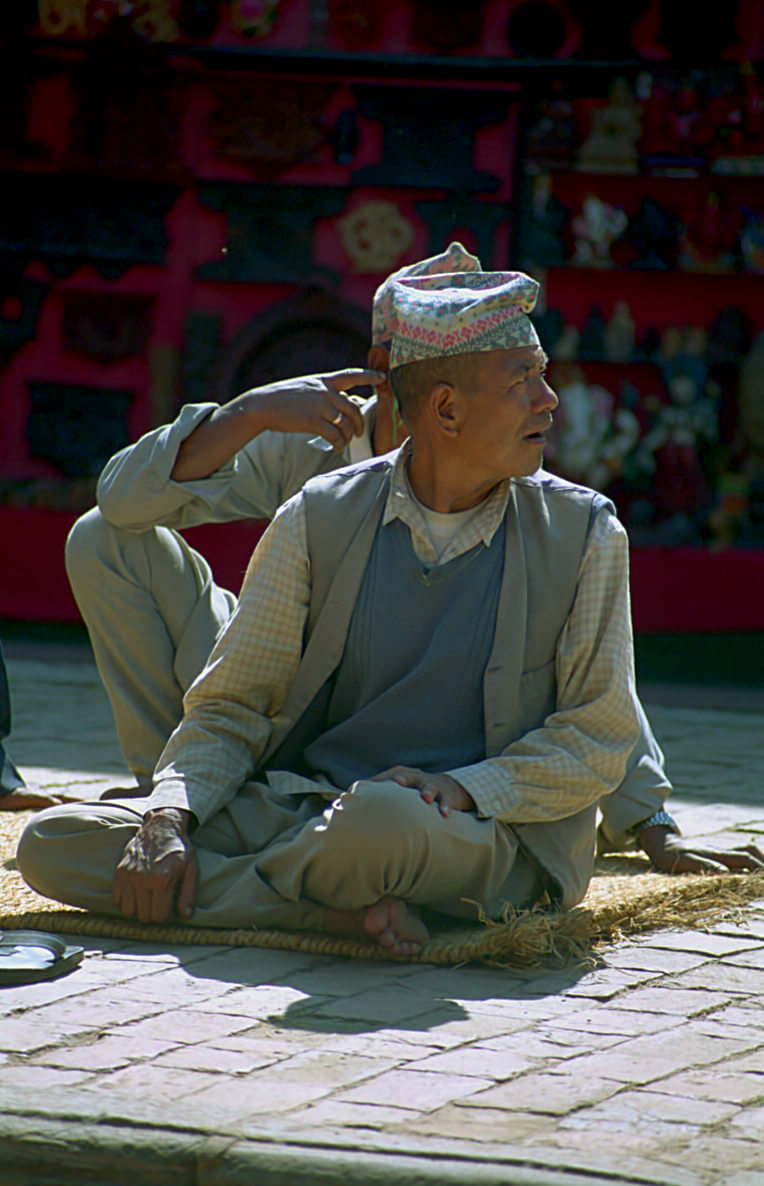
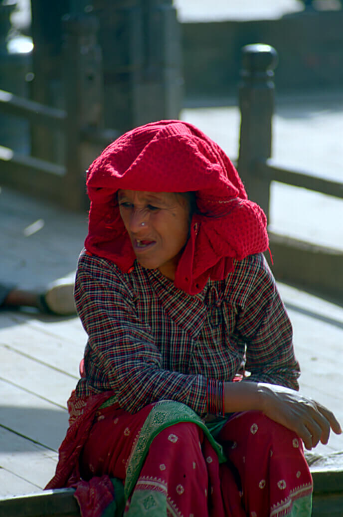
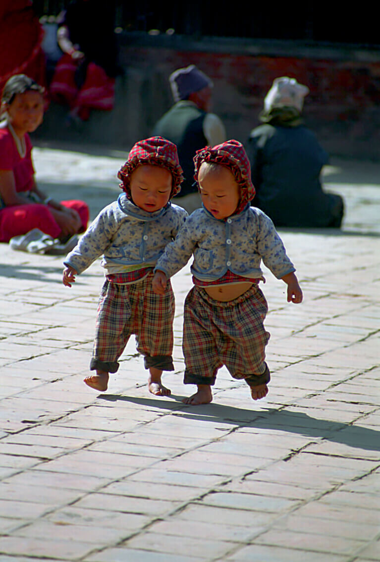
And then, Bhaktapur, is also full of smiles, of life, of games, of extraordinary scenes. And what better way to end this travel, so tiring for the head, the mind and the body, on some fresh faces.

